UN/LOCODE hub · United States
USMH3

Mayhew

33.4833°, -88.6333°
2
Transport functions

Transport Functions

Rail
Road
UN/LOCODE

Hub Profile

Place type
Populated place
GeoNames
Region
Mississippi
GeoNames
Time zone
America/Chicago
GeoNames
Elevation
63 m
GeoNames

Location

Location of USMH3
Natural Earth 10m (public domain) · Mississippi · USMH3 · 33.48, -88.63GoogleOSMYandex

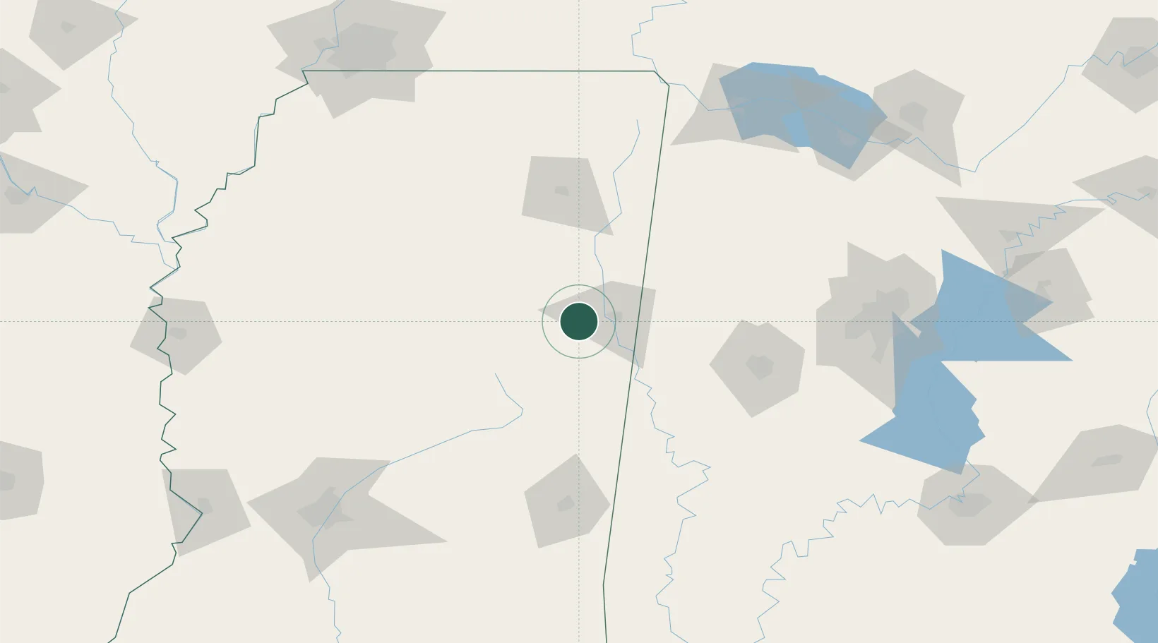
Nearby Logistics Neighbours

Cities
  1. 1Artesia8 km
  2. 2Brooksville28 km
  3. 3Prairie35 km
  4. 4Aberdeen38 km
  5. 5Lackey38 km
Nearest neighbours — logibook spatial index (haversine) over the source coordinates
Ports
  1. 1Port Of Memphis226 km
  2. 2Mobile315 km
  3. 3Biloxi346 km
  4. 4Pascagoula349 km
  5. 5Gulfport351 km
Nearest neighbours — logibook spatial index (haversine) over the source coordinates
Airports
  1. 1Golden Triangle Regional Airport5 km
  2. 2Columbus Air Force Base25 km
  3. 3Tupelo Regional Airport88 km
  4. 4Tuscaloosa National Airport99 km
  5. 5Naval Air Station Meridian / McCain Field104 km
Nearest neighbours — logibook spatial index (haversine) over the source coordinates
Trade Zones
  1. 1FTZ No. 098 Birmingham169 km
  2. 2FTZ No. 265 Conroe (Montgomery County)203 km
  3. 3FTZ No. 270 Lawrence County204 km
  4. 4FTZ No. 262 Southaven208 km
  5. 5FTZ No. 083 Huntsville215 km
Nearest neighbours — logibook spatial index (haversine) over the source coordinates
DatabookThe Record of Consolidated Knowledge
United States beyond logistics?
Browse databook

All Sources

LocationsUN/LOCODE
UN/LOCODE — free
Portsthe NGA World Port Index
Public domain (US gov)
AirportsOurAirports
Public domain
Trade Zonesthe World Bank SEZ database
CC BY 4.0
Trade ZonesOpen Zone Map
CC BY
← United States locations