Foreign Trade Zone · United States

FTZ No. 158 Vicksburg Jackson Active
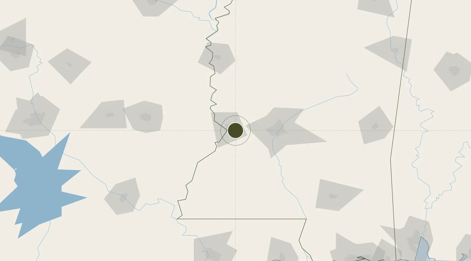
32.3186°, -90.7889°
211.1 km
Nearest port
67.0 km
Nearest airport

Gateway access

Nearest neighbours — logibook spatial index (haversine) over the source coordinates

Zone profile

Zone type
Foreign Trade Zone
Open Zone Map
Region
Mississippi
Open Zone Map
Status
Active
Open Zone Map
Management
Public-Private Partnership
Open Zone Map
Operator
Greater Mississippi Foreign-Trade Zone, Inc.
Open Zone Map
Legal framework
Foreign-Trade Zones Act
Open Zone Map

Location

Location of ozm-4927
Natural Earth 10m (public domain) · Mississippi · ozm-4927 · 32.32, -90.79GoogleOSMYandex

Nearby Logistics Neighbours

Ports
  1. 1Baton Rouge211 km
  2. 2Madisonville222 km
  3. 3Slidell247 km
  4. 4Reserve253 km
  5. 5Convent256 km
Nearest neighbours — logibook spatial index (haversine) over the source coordinates
Airports
  1. 1Jackson-Medgar Wiley Evers International Airport67 km
  2. 2Monroe Regional Airport119 km
  3. 3McComb-Pike County Airport / John E Lewis Field130 km
  4. 4Mid Delta Regional Airport131 km
  5. 5Greenwood–Leflore Airport146 km
Nearest neighbours — logibook spatial index (haversine) over the source coordinates
Cities
  1. 1Vicksburg10 km
  2. 2Edwards18 km
  3. 3Redwood18 km
  4. 4Ballground24 km
  5. 5Tallulah38 km
Nearest neighbours — logibook spatial index (haversine) over the source coordinates
Trade Zones
  1. 1FTZ No. 154 Baton Rouge213 km
  2. 2FTZ No. 155 Calhoun Victoria Counties213 km
  3. 3FTZ No. 124 Gramercy251 km
  4. 4FTZ No. 287 Tunica County260 km
  5. 5FTZ No. 092 Harrison County273 km
Nearest neighbours — logibook spatial index (haversine) over the source coordinates
DatabookThe Record of Consolidated Knowledge
United States beyond logistics?
Browse databook

All Sources

Trade ZonesOpen Zone Map
CC BY
Portsthe NGA World Port Index
Public domain (US gov)
AirportsOurAirports
Public domain
LocationsUN/LOCODE
UN/LOCODE — free
← United States trade zones