Transport Functions
Road
Multimodal
Hub Profile
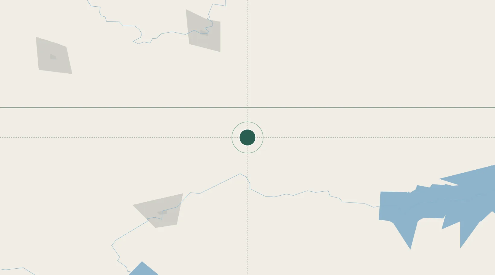
Place type
Populated place
Region
Montana
Population
98
Time zone
America/Denver
Elevation
872 m
Location
Nearby Logistics Neighbours
Cities
- 1Big Sandy43 km
- 2Fort Benton95 km
- 3Etzikom126 km
- 4Coutts145 km
- 5Irvine154 km
Ports
- 1Mission City892 km
- 2Everett899 km
- 3The Dalles902 km
- 4Mukilteo906 km
- 5Bellingham911 km
Airports
Trade Zones
- 1FTZ No. 088 Great Falls156 km
- 2FTZ No. 187 Toole County163 km
- 3FTZ No. 275 Lansing339 km
- 4FTZ No. 274 Butte-Silver Bow365 km
- 5Calgary Region Inland Port397 km
DatabookThe Record of Consolidated Knowledge
United States beyond logistics?