Transport Functions
Port
Multimodal
Hub Profile
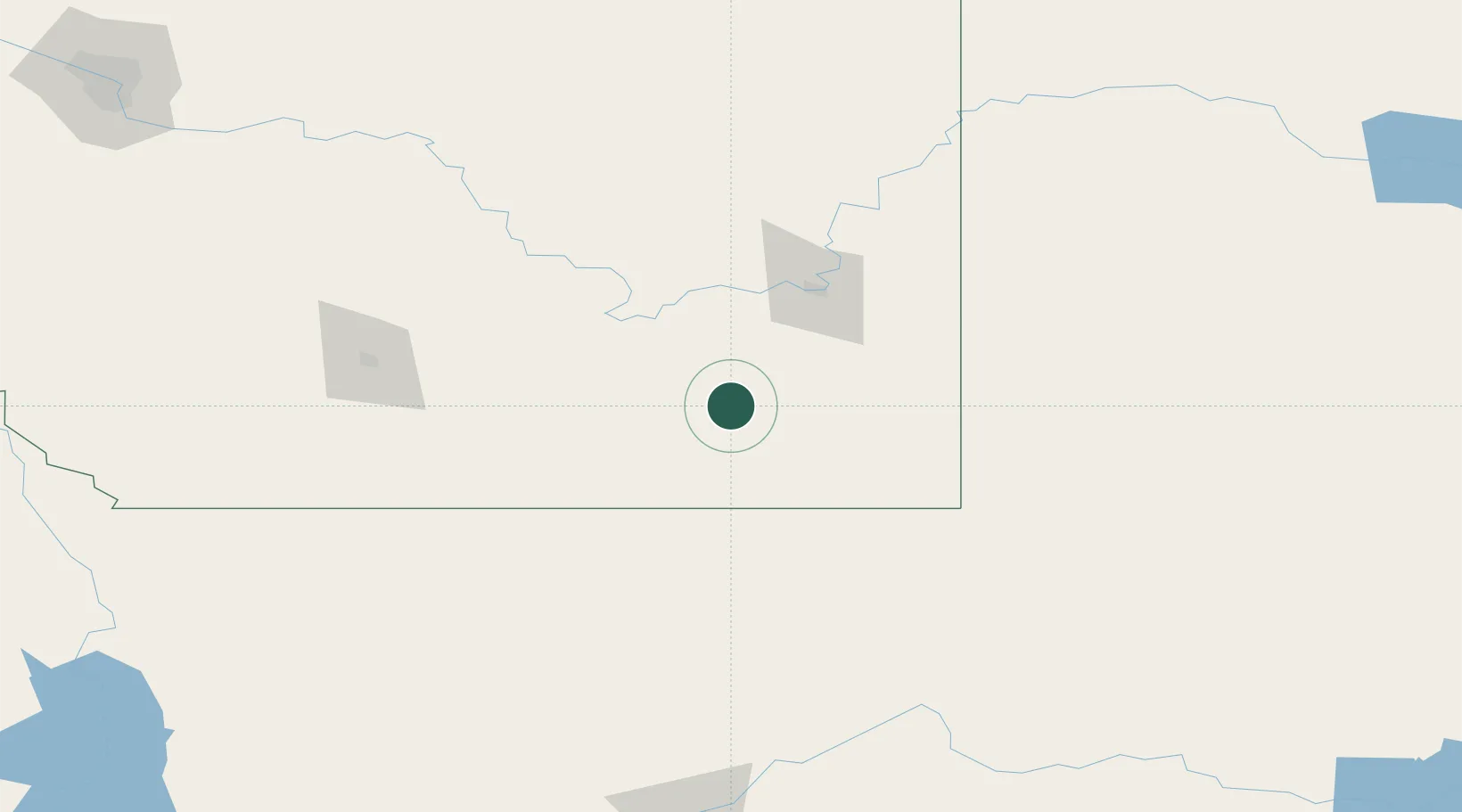
Place type
Populated place
Region
Alberta
Time zone
America/Edmonton
Elevation
880 m
Location
Nearby Logistics Neighbours
Cities
- 1Grassy Lake57 km
- 2Dunmore65 km
- 3Medicine Hat69 km
- 4Irvine79 km
- 5Coutts82 km
Ports
- 1Mission City809 km
- 2Everett831 km
- 3Bellingham833 km
- 4Mukilteo838 km
- 5Port Coquitlam845 km
Airports
- 1Medicine Hat Regional Airport66 km
- 2Lethbridge County Airport124 km
- 3Cut Bank International Airport135 km
- 4Havre City County Airport143 km
- 5Pincher Creek Airport209 km
Trade Zones
- 1FTZ No. 187 Toole County131 km
- 2FTZ No. 088 Great Falls222 km
- 3Calgary Region Inland Port274 km
- 4FTZ No. 275 Lansing401 km
- 5FTZ No. 274 Butte-Silver Bow421 km
DatabookThe Record of Consolidated Knowledge
Canada beyond logistics?