Transport Functions
Port
Rail
Road
Multimodal
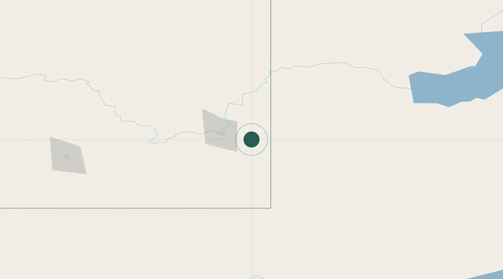
Hub Profile
Place type
Locality
Region
Alberta
Time zone
America/Edmonton
Elevation
775 m
Location
Nearby Logistics Neighbours
Cities
- 1Dunmore23 km
- 2Medicine Hat30 km
- 3Maple Creek56 km
- 4Etzikom79 km
- 5Grassy Lake104 km
Ports
- 1Mission City869 km
- 2Bellingham895 km
- 3Everett898 km
- 4Port Coquitlam904 km
- 5Mukilteo905 km
Airports
- 1Medicine Hat Regional Airport33 km
- 2Havre City County Airport161 km
- 3Lethbridge County Airport185 km
- 4Swift Current Airport188 km
- 5Kindersley Airport190 km
Trade Zones
- 1FTZ No. 187 Toole County209 km
- 2FTZ No. 088 Great Falls285 km
- 3Calgary Region Inland Port295 km
- 4Global Transportation Hub Authority397 km
- 5Port Alberta - Edmonton FTZ460 km
DatabookThe Record of Consolidated Knowledge
Canada beyond logistics?