Medium airport · Canada
Medicine Hat Regional AirportCYXH
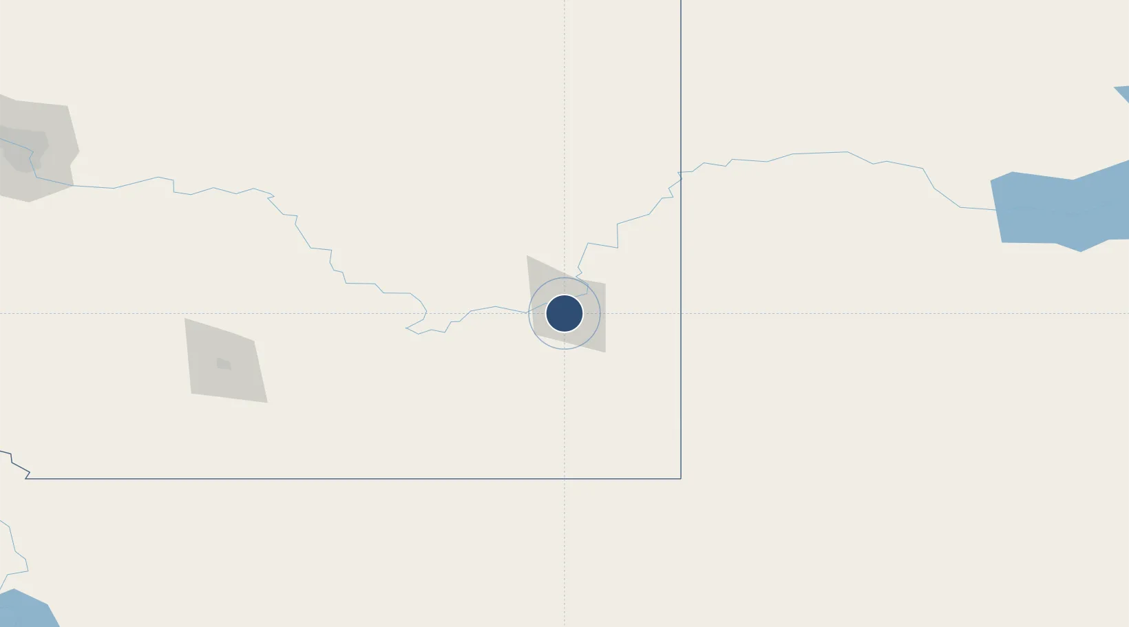
50.0189°, -110.7210°
5,000 ft
Longest runway
2
Runways
2,352 ft
Elevation
Runway & Layout

Radio Frequencies
AWOS
124.875 MHz
A/G
122.2 MHz
MF
RCO
126.7 MHz
EDMONTON RDO
RDO
122.2 MHz
Navaids
XH NDB Medicine Hat 332 kHz
Runways · 2
| Runway | Dimensions | Surface | True heading | Lit |
|---|---|---|---|---|
| 03/21 | 5,000 × 150ft | Asphalt | 045° | ✓ |
| 09/27 | 2,820 × 100ft | Asphalt | 107° | ✓ |
Airport Specifications
IATA code
YXH
ICAO code
CYXH
Airport class
Medium airport
Scheduled service
Yes
Runway surface
Asphalt
Served city
Medicine Hat
Location
Nearby Logistics Neighbours
Airports
- 1Lethbridge County Airport155 km
- 2Havre City County Airport178 km
- 3Cut Bank International Airport198 km
- 4Kindersley Airport199 km
- 5Swift Current Airport218 km
Cities
- 1Medicine Hat4 km
- 2Dunmore11 km
- 3Irvine33 km
- 4Etzikom66 km
- 5Grassy Lake74 km
Ports
- 1Mission City837 km
- 2Bellingham863 km
- 3Everett867 km
- 4Port Coquitlam871 km
- 5Mukilteo875 km
Trade Zones
- 1FTZ No. 187 Toole County194 km
- 2Calgary Region Inland Port263 km
- 3FTZ No. 088 Great Falls285 km
- 4Global Transportation Hub Authority427 km
- 5Port Alberta - Edmonton FTZ440 km
DatabookThe Record of Consolidated Knowledge
Canada beyond logistics?