Medium airport · United States

Angelina County AirportKLFK
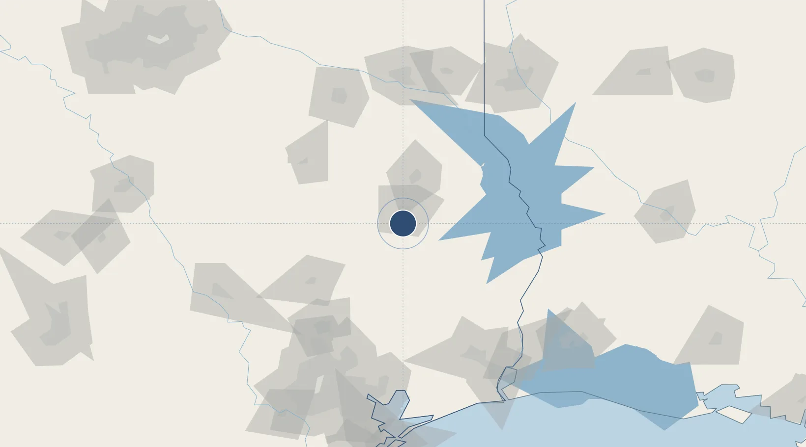
31.2340°, -94.7500°
5,400 ft
Longest runway
2
Runways
296 ft
Elevation

Runway & Layout

Angelina County Airport runway & taxiway layout
Runway & taxiway layout — OpenStreetMap (ODbL) / OurAirports

Radio Frequencies

ASOS
120.625 MHz
CNTR
134.8 MHz
HOUSTON CNTR
RDO
122.2 MHz
MONTGOMERY CO RDO
UNIC
123 MHz
CTAF/UNICOM
OurAirports

Navaids

LF NDB Flufy 350 kHz
OurAirports

Runways · 2

RunwayDimensions SurfaceTrue headingLit
07/25 5,400 × 100ft Asphalt 075°
16/34 4,311 × 100ft Asphalt 160°
OurAirports

Airport Specifications

IATA code
LFK
OurAirports
ICAO code
KLFK
OurAirports
Airport class
Medium airport
OurAirports
Scheduled service
No
OurAirports
Runway surface
Asphalt
OurAirports
Served city
Lufkin
OurAirports

Location

Location of KLFK
Natural Earth 10m (public domain) · Texas · KLFK · 31.23, -94.75GoogleOSMYandex

Nearby Logistics Neighbours

Airports
  1. 1Huntsville Regional Airport96 km
  2. 2Conroe-North Houston Regional Airport117 km
  3. 3East Texas Regional Airport128 km
  4. 4Tyler Pounds Regional Airport139 km
  5. 5Beauregard Regional Airport142 km
Nearest neighbours — logibook spatial index (haversine) over the source coordinates
Cities
  1. 1Cushing63 km
  2. 2Lovelady66 km
  3. 3San Augustine69 km
  4. 4Hillister72 km
  5. 5Gallatin81 km
Nearest neighbours — logibook spatial index (haversine) over the source coordinates
Ports
  1. 1Beaumont143 km
  2. 2Port Neches157 km
  3. 3Orange161 km
  4. 4Baytown169 km
  5. 5Houston173 km
Nearest neighbours — logibook spatial index (haversine) over the source coordinates
Trade Zones
  1. 1FTZ No. 297 Lufkin11 km
  2. 2FTZ No. 171 Liberty County121 km
  3. 3FTZ No. 115 Beaumont139 km
  4. 4FTZ No. 234 Gregg County143 km
  5. 5FTZ No. 117 Orange149 km
Nearest neighbours — logibook spatial index (haversine) over the source coordinates
DatabookThe Record of Consolidated Knowledge
United States beyond logistics?
Browse databook

All Sources

AirportsOurAirports
Public domain
Portsthe NGA World Port Index
Public domain (US gov)
LocationsUN/LOCODE
UN/LOCODE — free
Trade Zonesthe World Bank SEZ database
CC BY 4.0
Trade ZonesOpen Zone Map
CC BY
InfrastructureOpenStreetMap
ODbL 1.0
← United States airports