Transport Functions
Rail
Road
Hub Profile
Place type
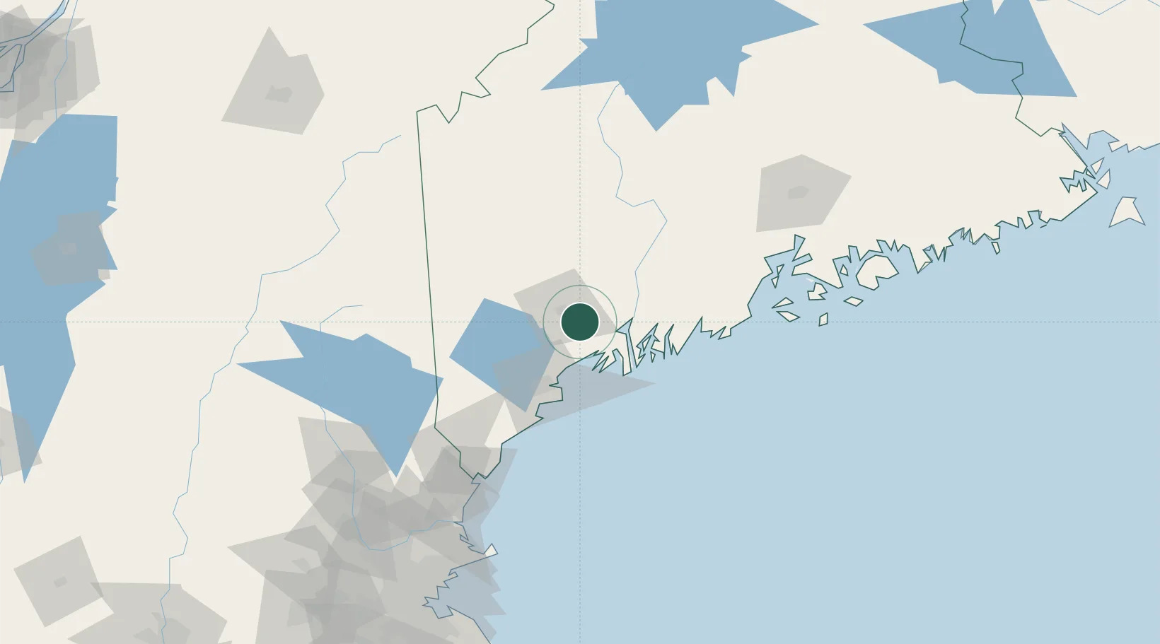
Populated place
Region
Maine
Population
9,392
Time zone
America/New_York
Elevation
55 m
Location
Nearby Logistics Neighbours
Cities
- 1Lisbon Falls5 km
- 2Sabattus9 km
- 3Freeport20 km
- 4Poland23 km
- 5Mechanic Falls24 km
Ports
- 1Bath26 km
- 2South Harpswell34 km
- 3Gardiner35 km
- 4Augusta41 km
- 5Portland43 km
Airports
Trade Zones
- 1FTZ No. 263 Auburn11 km
- 2FTZ No. 186 Waterville65 km
- 3FTZ No. 081 Portsmouth124 km
- 4FTZ No. 058 Bangor134 km
- 5FTZ No. 027 Boston208 km
DatabookThe Record of Consolidated Knowledge
United States beyond logistics?