UN/LOCODE hub · United States
USLF3
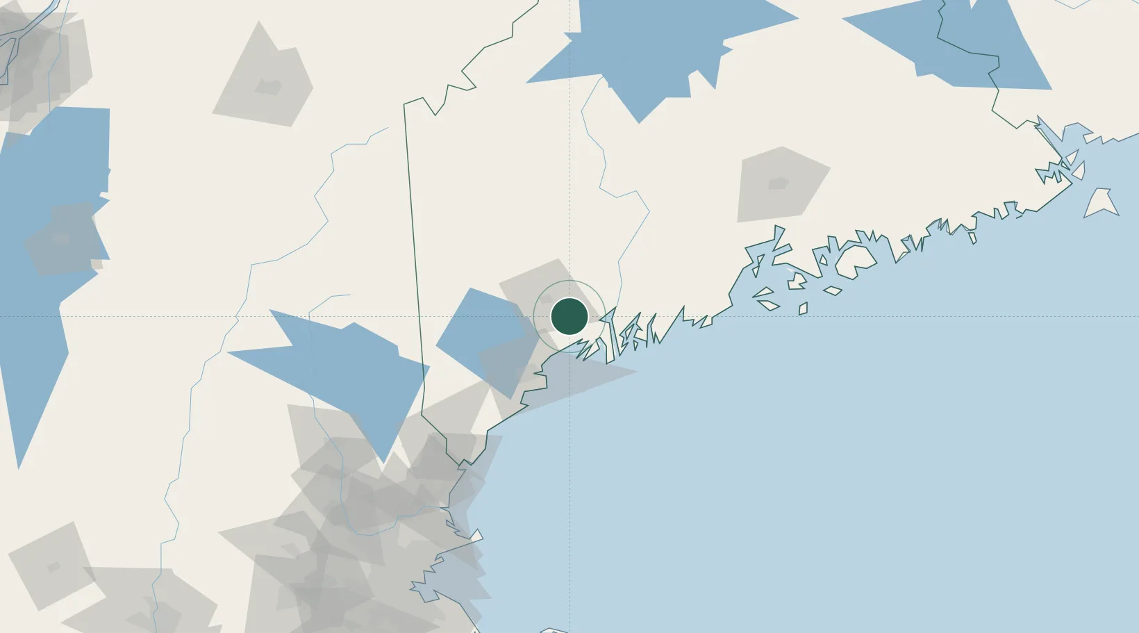
Lisbon Falls
44.0000°, -70.0667°
4,100
Population
3
Transport functions
Transport Functions
Rail
Road
Multimodal
Hub Profile
Place type
Populated place
Region
Maine
Population
4,100
Time zone
America/New_York
Elevation
34 m
Location
Nearby Logistics Neighbours
Cities
- 1Lisbon5 km
- 2Sabattus13 km
- 3Freeport17 km
- 4Bath23 km
- 5Harpswell Center23 km
Ports
- 1Bath22 km
- 2South Harpswell30 km
- 3Gardiner35 km
- 4Portland40 km
- 5Boothbay Harbor41 km
Airports
Trade Zones
- 1FTZ No. 263 Auburn16 km
- 2FTZ No. 186 Waterville67 km
- 3FTZ No. 081 Portsmouth122 km
- 4FTZ No. 058 Bangor134 km
- 5FTZ No. 027 Boston206 km
DatabookThe Record of Consolidated Knowledge
United States beyond logistics?