UN/LOCODE hub · United States
USHHG
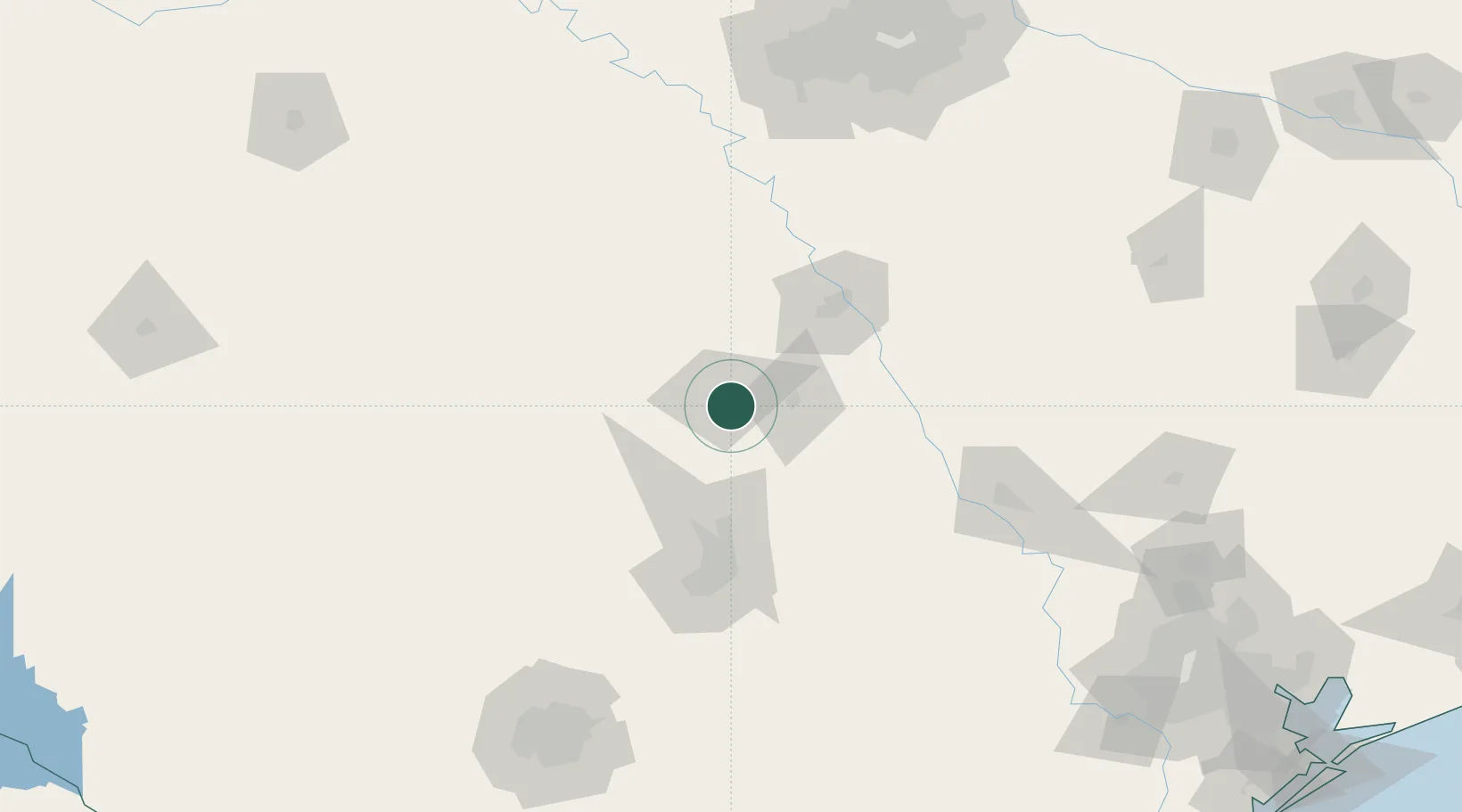
Harker Heights
31.0833°, -97.6667°
29,142
Population
3
Transport functions
Transport Functions
Rail
Road
Multimodal
Hub Profile
Place type
Populated place
Region
Texas
Population
29,142
Time zone
America/Chicago
Elevation
233 m
Location
Nearby Logistics Neighbours
Ports
- 1Deer Park268 km
- 2Houston272 km
- 3Pasadena280 km
- 4Port Lavaca292 km
- 5Baytown295 km
Airports
Trade Zones
- 1FTZ No. 246 Waco65 km
- 2FTZ No. 183 Austin91 km
- 3FTZ No. 113 Ellis County149 km
- 4FTZ No. 168 Dallas Fort Worth185 km
- 5FTZ No. 039 Dallas Fort Worth188 km
DatabookThe Record of Consolidated Knowledge
United States beyond logistics?