UN/LOCODE hub · United States
USXTX
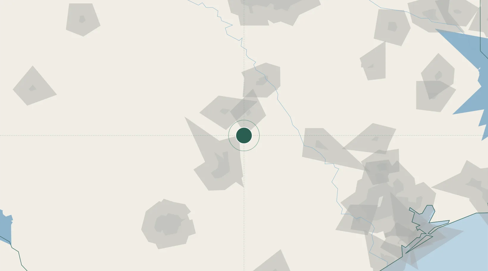
Bartlett
30.7833°, -97.4333°
2,761
Population
2
Transport functions
Transport Functions
Rail
Road
Hub Profile
Place type
Populated place
Region
Texas
Population
2,761
Time zone
America/Chicago
Elevation
182 m
Location
Nearby Logistics Neighbours
Cities
- 1Rogers25 km
- 2San Gabriel26 km
- 3Hutto30 km
- 4Thorndale30 km
- 5Harker Heights40 km
Ports
- 1Deer Park232 km
- 2Houston236 km
- 3Pasadena244 km
- 4Port Lavaca254 km
- 5Baytown260 km
Airports
Trade Zones
- 1FTZ No. 183 Austin65 km
- 2FTZ No. 246 Waco87 km
- 3FTZ No. 113 Ellis County173 km
- 4FTZ No. 080 San Antonio195 km
- 5FTZ No. 269 Athens215 km
DatabookThe Record of Consolidated Knowledge
United States beyond logistics?