Transport Functions
Rail
Road
Multimodal
Hub Profile
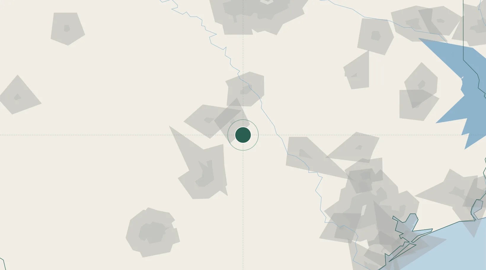
Place type
Populated place
Region
Texas
Population
1,211
Time zone
America/Chicago
Elevation
166 m
Location
Nearby Logistics Neighbours
Cities
- 1Bartlett25 km
- 2San Gabriel26 km
- 3Pendleton34 km
- 4Thorndale35 km
- 5Bruceville45 km
Ports
- 1Deer Park223 km
- 2Houston226 km
- 3Pasadena234 km
- 4Baytown249 km
- 5Port Lavaca262 km
Airports
Trade Zones
- 1FTZ No. 246 Waco71 km
- 2FTZ No. 183 Austin88 km
- 3FTZ No. 113 Ellis County155 km
- 4FTZ No. 269 Athens190 km
- 5FTZ No. 168 Dallas Fort Worth205 km
DatabookThe Record of Consolidated Knowledge
United States beyond logistics?