Transport Functions
Port
Rail
Road
Multimodal
Hub Profile
Place type
Populated place
Region
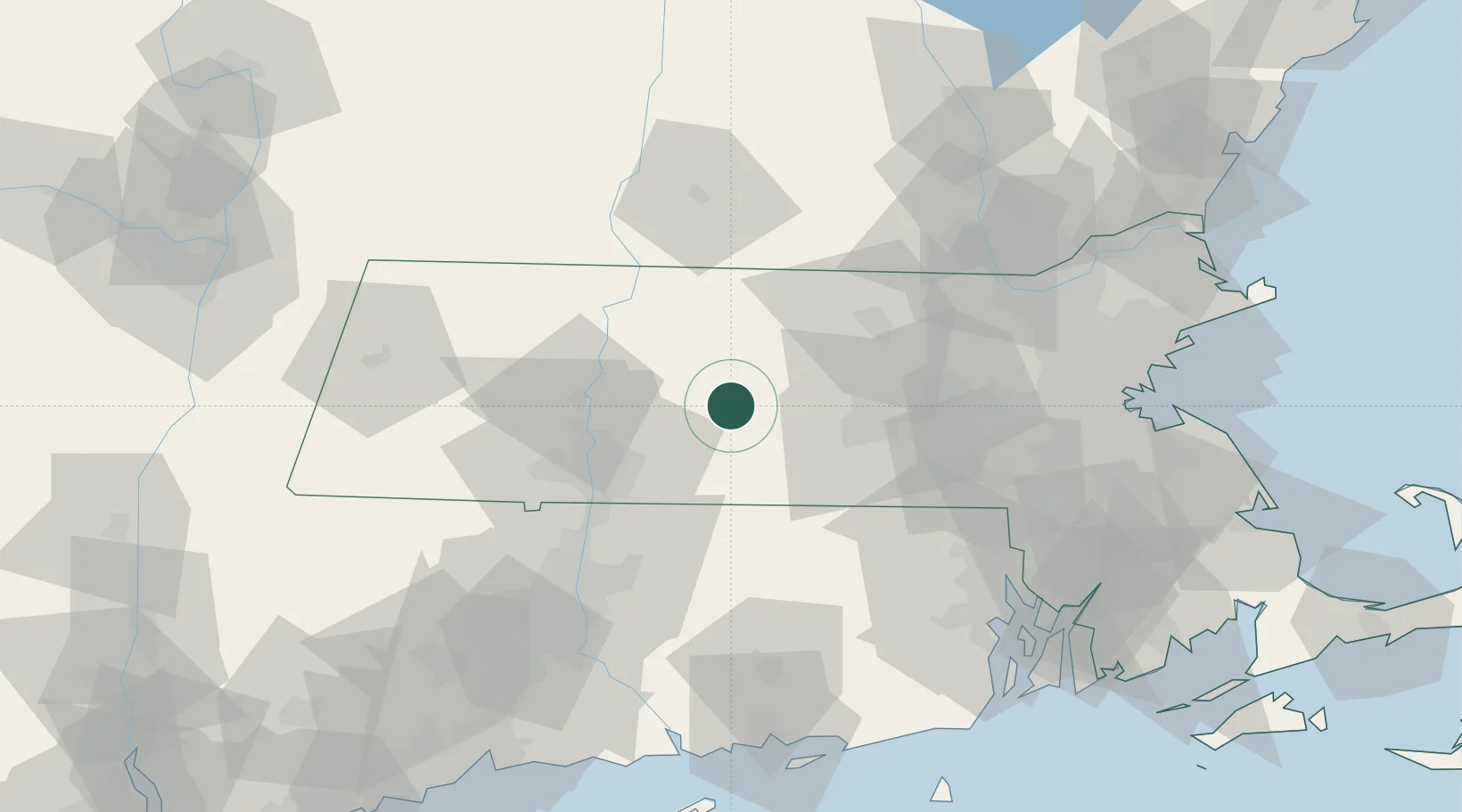
Massachusetts
Time zone
America/New_York
Elevation
167 m
Location
Nearby Logistics Neighbours
Cities
- 1West Brookfield10 km
- 2North Brookfield11 km
- 3Barre14 km
- 4Bondsville17 km
- 5Belchertown17 km
Ports
- 1Providence88 km
- 2Norwich90 km
- 3Boston95 km
- 4Quincy102 km
- 5Davisville Depot102 km
Airports
Trade Zones
DatabookThe Record of Consolidated Knowledge
United States beyond logistics?