Seaport · United States
BostonUSBOS
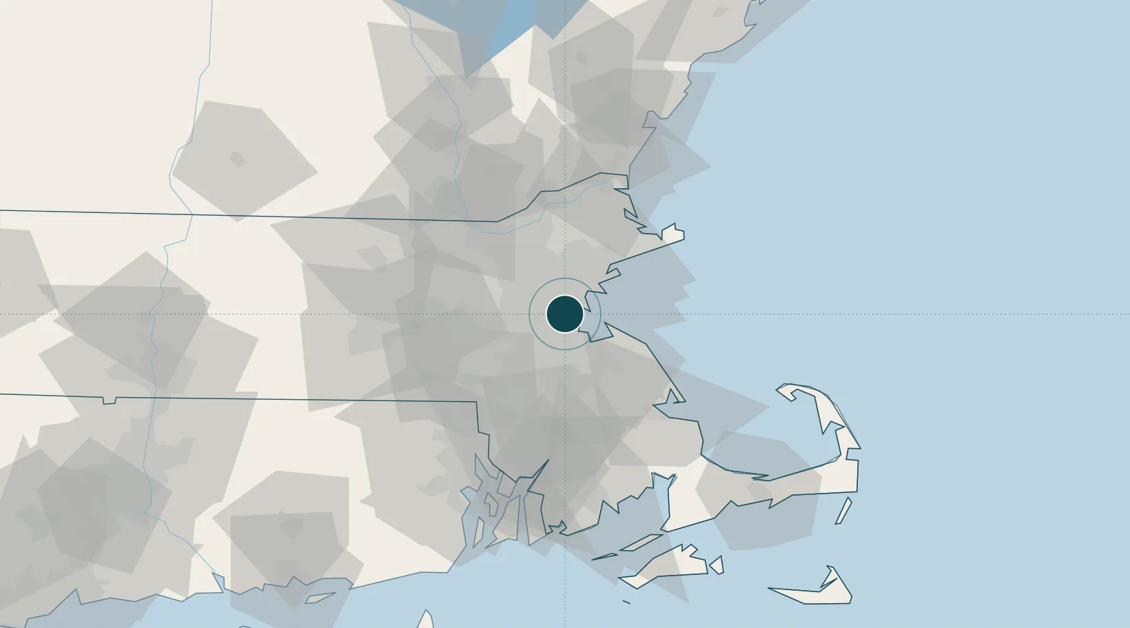
42.3500°, -71.0500°
11.0 m
Channel depth
1
Container terminals
133.4
Port liner connectivity
Channel & Berth Profile
Pilotage, Tugs & Services
Pilotage compulsoryYES
Pilotage availableYES
Tug assistanceYES
Shore powerYES
Potable waterYES
Diesel bunkersYES
MedicalYES
Garbage disposalYES
Facilities & Capabilities
Container—
Ro-Ro—
Liquid bulk—
Dry bulk—
Oil terminal—
Break bulk—
Dry dockNO
RepairsNO
BunkeringYES
Rail linkYES
Dangerous cargo—
ISPS security—
Harbour Specifications
Harbour size
Large
Harbour type
Coastal (Natural)
Shelter
Excellent
Water body
North Atlantic Ocean
Tidal range
3 m
Overhead limit
Yes
Pilotage
Yes
Liner Connectivity
133.4
PLSCI
Port Liner Shipping Connectivity Index for Boston, as published by UNCTAD for the latest available quarter. Higher values indicate stronger scheduled liner-shipping integration.
Shown relative to the highest per-port PLSCI in the dataset (1,657.9).
Location
Container Terminals · 1
CONLEY CONTAINER TERMINAL
PWCMT MASSACHUSETTS PORT AUTHORITY (MASSPORT)
Nearby Logistics Neighbours
Ports
- 1Quincy13 km
- 2Lynn14 km
- 3Salem23 km
- 4Marblehead23 km
- 5Beverly25 km
Cities
- 1Dorchester8 km
- 2Medford9 km
- 3Newtonville12 km
- 4Eliot13 km
- 5Winchester13 km
Airports
Trade Zones
DatabookThe Record of Consolidated Knowledge
United States beyond logistics?