Transport Functions
Rail
Road
Multimodal
Hub Profile
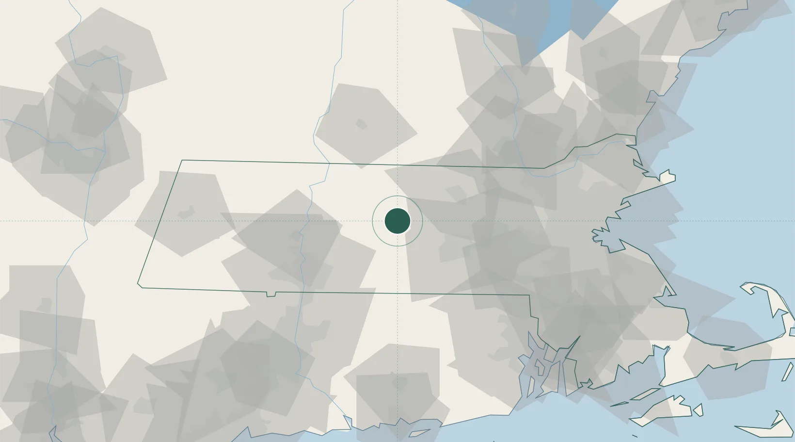
Place type
Populated place
Region
Massachusetts
Population
1,009
Time zone
America/New_York
Elevation
278 m
Location
Nearby Logistics Neighbours
Cities
- 1Hubbardston10 km
- 2Gilbertville14 km
- 3Phillipston15 km
- 4North Brookfield17 km
- 5West Brookfield21 km
Ports
- 1Boston87 km
- 2Providence90 km
- 3Lynn95 km
- 4Quincy95 km
- 5Norwich100 km
Airports
Trade Zones
DatabookThe Record of Consolidated Knowledge
United States beyond logistics?