Medium airport · United States
Dillant Hopkins AirportKEEN
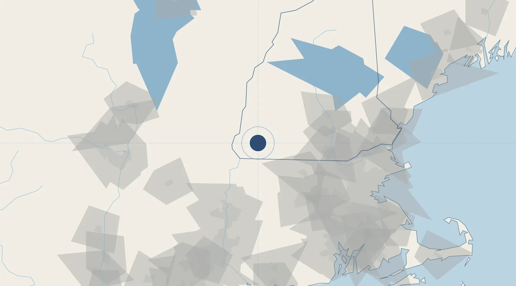
42.8984°, -72.2708°
6,201 ft
Longest runway
2
Runways
488 ft
Elevation
Runway & Layout

Radio Frequencies
AWOS
119.025 MHz
AWOS 3
CNTR
123.75 MHz
BOSTON CNTR
RDO
109.4 MHz
BANGOR RDO
UNIC
123 MHz
CTAF/UNICOM
Navaids
EEN VORTAC Keene 109.40 MHz
Runways · 2
| Runway | Dimensions | Surface | True heading | Lit |
|---|---|---|---|---|
| 02/20 | 6,201 × 100ft | Asphalt | 003° | ✓ |
| 14/32 | 4,001 × 150ft | Asphalt | 127° | ✓ |
Airport Specifications
IATA code
EEN
ICAO code
KEEN
Airport class
Medium airport
Scheduled service
No
Runway surface
Asphalt
Served city
Keene
Location
Nearby Logistics Neighbours
Airports
Cities
- 1Swanzey4 km
- 2West Swanzey5 km
- 3Spofford12 km
- 4Sullivan12 km
- 5South Barre14 km
Ports
- 1Newburyport115 km
- 2Boston117 km
- 3Troy118 km
- 4Lynn119 km
- 5Beverly120 km
Trade Zones
- 1FTZ No. 268 Brattleboro27 km
- 2FTZ No. 201 Holyoke83 km
- 3FTZ No. 071 Windsor Locks112 km
- 4FTZ No. 027 Boston115 km
- 5FTZ No. 081 Portsmouth117 km
DatabookThe Record of Consolidated Knowledge
United States beyond logistics?