Transport Functions
Rail
Road
Hub Profile
Place type
Populated place
Region
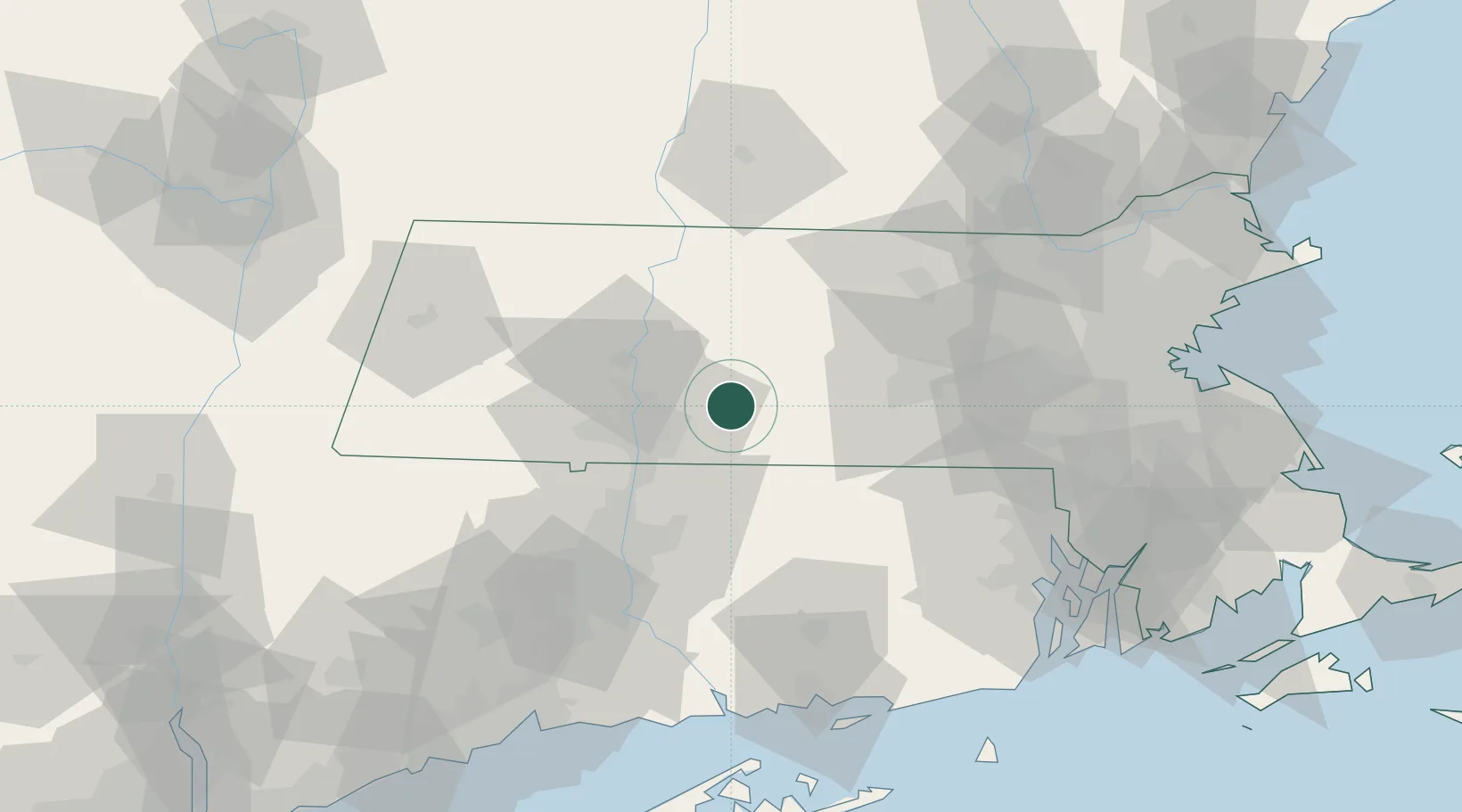
Massachusetts
Time zone
America/New_York
Elevation
112 m
Location
Nearby Logistics Neighbours
Cities
- 1Belchertown9 km
- 2Brimfield13 km
- 3West Brookfield16 km
- 4Gilbertville17 km
- 5North Brookfield22 km
Ports
- 1Norwich79 km
- 2Providence89 km
- 3Essex95 km
- 4New London97 km
- 5Mystic99 km
Airports
Trade Zones
DatabookThe Record of Consolidated Knowledge
United States beyond logistics?