Channel & Berth Profile
Pilotage, Tugs & Services
Pilotage compulsoryYES
Tug assistanceNO
Salvage tugsNO
Shore powerYES
MedicalYES
Facilities & Capabilities
Container—
Ro-Ro—
Liquid bulk—
Dry bulk—
Oil terminal—
Break bulk—
Dry dock—
Repairs—
Bunkering—
Rail link—
Dangerous cargo—
ISPS security—
Harbour Specifications
Harbour size
Very Small
Harbour type
Coastal (Natural)
Shelter
Fair
Water body
North Atlantic Ocean
Tidal range
1.2 m
Overhead limit
No
Pilotage
Yes
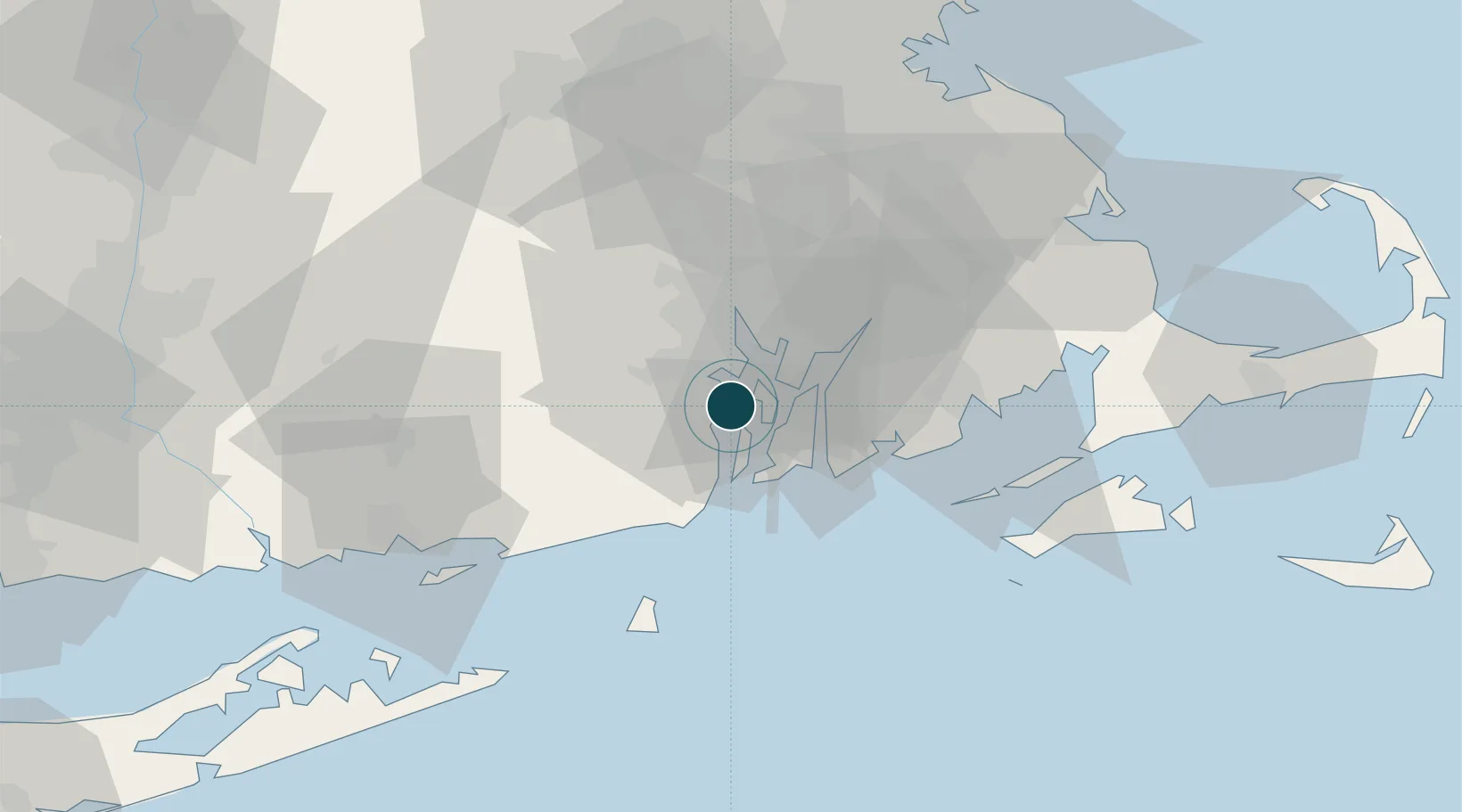
Location
Nearby Logistics Neighbours
Ports
- 1Quonset Point4 km
- 2Bristol12 km
- 3Newport14 km
- 4Tiverton15 km
- 5Providence20 km
Cities
- 1Exeter12 km
- 2Middletown13 km
- 3Slocum15 km
- 4Riverside17 km
- 5Fiskeville18 km
Airports
Trade Zones
DatabookThe Record of Consolidated Knowledge
United States beyond logistics?