UN/LOCODE hub · United States
USBT4
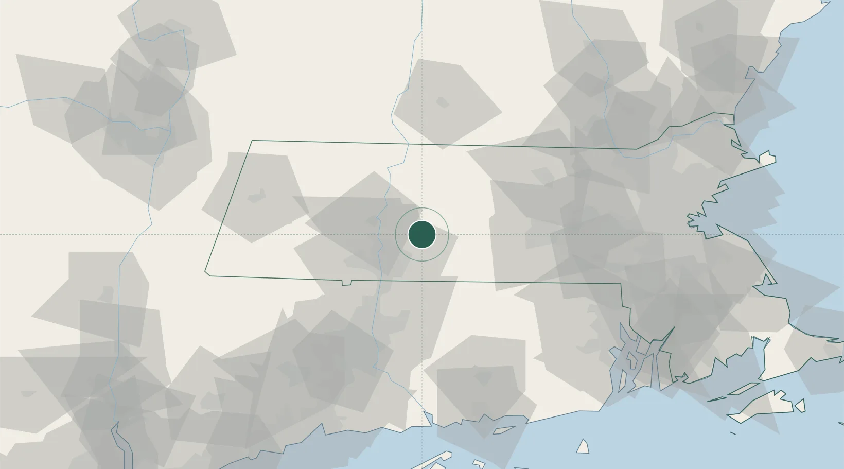
Belchertown
42.2667°, -72.4000°
2,899
Population
2
Transport functions
Transport Functions
Rail
Road
Hub Profile
Place type
Populated place
Region
Massachusetts
Population
2,899
Time zone
America/New_York
Elevation
185 m
Location
Nearby Logistics Neighbours
Cities
- 1Bondsville9 km
- 2Gilbertville17 km
- 3Northampton21 km
- 4West Brookfield21 km
- 5Brimfield23 km
Ports
- 1Norwich87 km
- 2Providence98 km
- 3Essex102 km
- 4New London105 km
- 5Mystic108 km
Airports
Trade Zones
DatabookThe Record of Consolidated Knowledge
United States beyond logistics?