Channel & Berth Profile
Pilotage, Tugs & Services
Pilotage compulsoryYES
Tug assistanceYES
Salvage tugsNO
Potable waterYES
Diesel bunkersYES
MedicalYES
Facilities & Capabilities
Container—
Ro-Ro—
Liquid bulk—
Dry bulk—
Oil terminal—
Break bulk—
Dry dockNO
RepairsNO
BunkeringYES
Rail link—
Dangerous cargo—
ISPS security—
Harbour Specifications
Harbour size
Small
Harbour type
River (Natural)
Shelter
Excellent
Water body
North Atlantic Ocean
Tidal range
3 m
Overhead limit
Yes
Pilotage
Yes
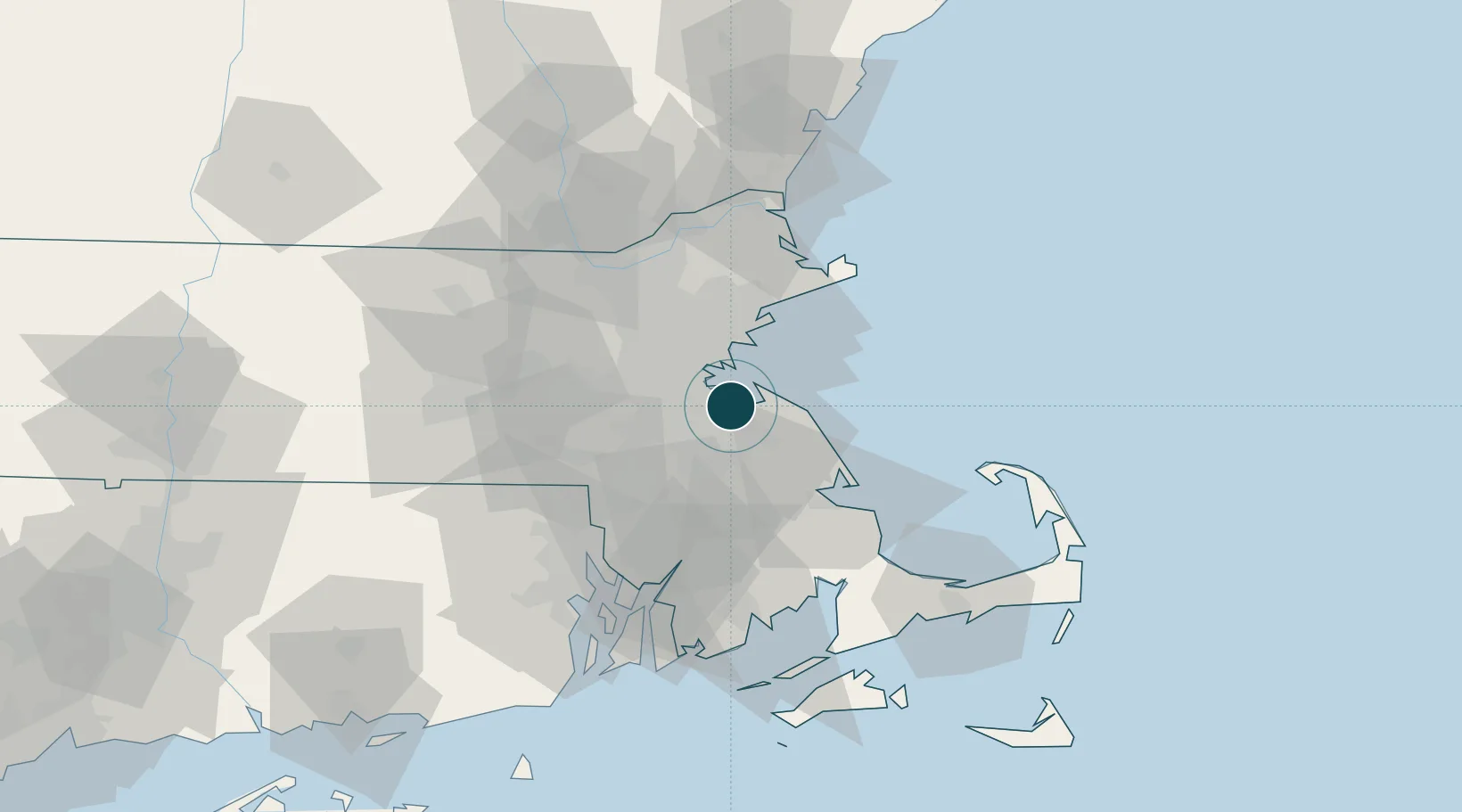
Location
Nearby Logistics Neighbours
Ports
- 1Boston13 km
- 2Scituate21 km
- 3Lynn22 km
- 4Marblehead29 km
- 5Salem30 km
Cities
- 1Dorchester9 km
- 2Accord12 km
- 3Cohasset14 km
- 4Abington15 km
- 5Boston17 km
Airports
Trade Zones
DatabookThe Record of Consolidated Knowledge
United States beyond logistics?