UN/LOCODE hub · United States
USNBP
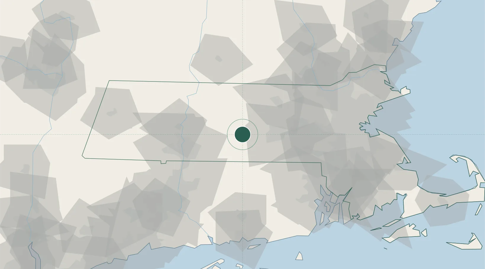
North Brookfield
42.2667°, -72.0833°
2,265
Population
2
Transport functions
Transport Functions
Road
Multimodal
Hub Profile
Place type
Populated place
Region
Massachusetts
Population
2,265
Time zone
America/New_York
Elevation
266 m
Location
Nearby Logistics Neighbours
Cities
- 1West Brookfield7 km
- 2Gilbertville11 km
- 3Barre17 km
- 4Rochdale17 km
- 5Brimfield20 km
Ports
- 1Providence77 km
- 2Norwich83 km
- 3Boston86 km
- 4Davisville Depot92 km
- 5Quincy92 km
Airports
Trade Zones
DatabookThe Record of Consolidated Knowledge
United States beyond logistics?