Channel & Berth Profile
Pilotage, Tugs & Services
Pilotage compulsoryYES
Tug assistanceNO
Salvage tugsNO
Potable waterYES
Diesel bunkersYES
MedicalYES
Facilities & Capabilities
Container—
Ro-Ro—
Liquid bulk—
Dry bulk—
Oil terminal—
Break bulk—
Dry dock—
Repairs—
BunkeringYES
Rail link—
Dangerous cargo—
ISPS security—
Harbour Specifications
Harbour size
Very Small
Harbour type
River (Natural)
Shelter
Excellent
Water body
North Atlantic Ocean
Tidal range
0.9 m
Overhead limit
Yes
Pilotage
Yes
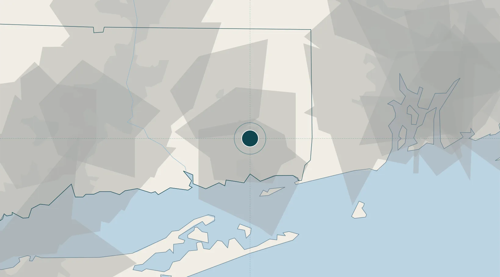
Location
Nearby Logistics Neighbours
Ports
- 1New London19 km
- 2Mystic21 km
- 3Noank24 km
- 4Stonington26 km
- 5Essex31 km
Cities
- 1Yantic5 km
- 2Gales Ferry11 km
- 3North Franklin15 km
- 4Griswold16 km
- 5South Windham20 km
Airports
- 1Groton New London Airport21 km
- 2Westerly State Airport30 km
- 3Montauk Airport51 km
- 4Hartford Brainard Airport53 km
- 5Quonset State Airport57 km
Trade Zones
DatabookThe Record of Consolidated Knowledge
United States beyond logistics?