Medium airport · United States

Worcester Regional AirportKORH
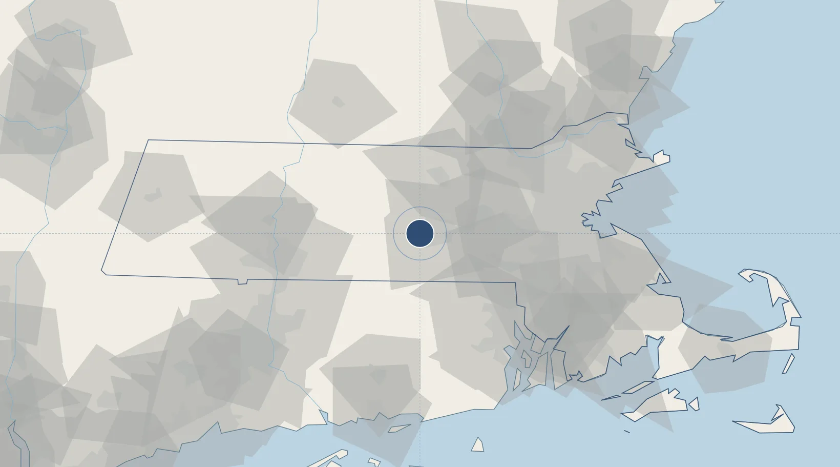
42.2673°, -71.8757°
7,001 ft
Longest runway
2
Runways
1,009 ft
Elevation

Runway & Layout

Worcester Regional Airport runway & taxiway layout
Runway & taxiway layout — OpenStreetMap (ODbL) / OurAirports

Radio Frequencies

ATIS
126.55 MHz
TWR
120.5 MHz
GND
123.85 MHz
CLD
128.65 MHz
CLNC DEL
CTAF
120.5 MHz
A/D
119 MHz
BRADLEY APP/DEP
RDO
122.2 MHz
BRIDGEPORT RDO
UNIC
122.95 MHz
UNICOM
OurAirports

Navaids

EK NDB Gozzr 417 kHz
RS NDB Dunca 279 kHz
OurAirports

Runways · 2

RunwayDimensions SurfaceTrue headingLit
11/29 7,001 × 150ft Asphalt 094°
15/33 5,000 × 100ft Asphalt 138°
OurAirports

Airport Specifications

IATA code
ORH
OurAirports
ICAO code
KORH
OurAirports
Airport class
Medium airport
OurAirports
Scheduled service
Yes
OurAirports
Runway surface
Asphalt
OurAirports
Served city
Worcester
OurAirports

Location

Location of KORH
Natural Earth 10m (public domain) · Massachusetts · KORH · 42.27, -71.88GoogleOSMYandex

Nearby Logistics Neighbours

Airports
  1. 1Laurence G Hanscom Field53 km
  2. 2Westover Metropolitan Airport / Westover Air Reserve Base55 km
  3. 3Norwood Memorial Airport59 km
  4. 4Westfield-Barnes Regional Airport70 km
  5. 5Rhode Island T. F. Green International Airport71 km
Nearest neighbours — logibook spatial index (haversine) over the source coordinates
Cities
  1. 1Worcester7 km
  2. 2Rochdale8 km
  3. 3North Oxford13 km
  4. 4West Boylston13 km
  5. 5North Brookfield17 km
Nearest neighbours — logibook spatial index (haversine) over the source coordinates
Ports
  1. 1Providence65 km
  2. 2Boston69 km
  3. 3Quincy75 km
  4. 4Lynn79 km
  5. 5Davisville Depot82 km
Nearest neighbours — logibook spatial index (haversine) over the source coordinates
Trade Zones
  1. 1FTZ No. 105 Providence and North Kingstown61 km
  2. 2FTZ No. 027 Boston63 km
  3. 3FTZ No. 201 Holyoke69 km
  4. 4FTZ No. 071 Windsor Locks73 km
  5. 5FTZ No. 268 Brattleboro89 km
Nearest neighbours — logibook spatial index (haversine) over the source coordinates
DatabookThe Record of Consolidated Knowledge
United States beyond logistics?
Browse databook

All Sources

AirportsOurAirports
Public domain
Portsthe NGA World Port Index
Public domain (US gov)
LocationsUN/LOCODE
UN/LOCODE — free
Trade Zonesthe World Bank SEZ database
CC BY 4.0
Trade ZonesOpen Zone Map
CC BY
InfrastructureOpenStreetMap
ODbL 1.0
← United States airports