UN/LOCODE hub · United States
USWBD
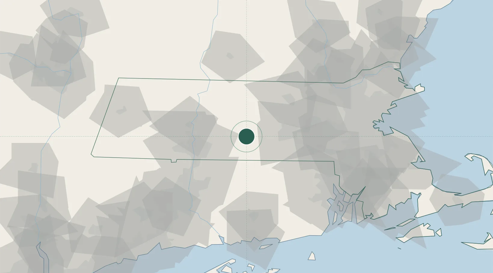
West Brookfield
42.2333°, -72.1500°
1,413
Population
2
Transport functions
Transport Functions
Road
Multimodal
Hub Profile
Place type
Populated place
Region
Massachusetts
Population
1,413
Time zone
America/New_York
Elevation
191 m
Location
Nearby Logistics Neighbours
Cities
- 1North Brookfield7 km
- 2Gilbertville10 km
- 3Brimfield14 km
- 4Bondsville16 km
- 5Barre21 km
Ports
- 1Providence79 km
- 2Norwich80 km
- 3Boston91 km
- 4Davisville Depot93 km
- 5Quonset Point95 km
Airports
Trade Zones
DatabookThe Record of Consolidated Knowledge
United States beyond logistics?