Foreign Trade Zone · United States

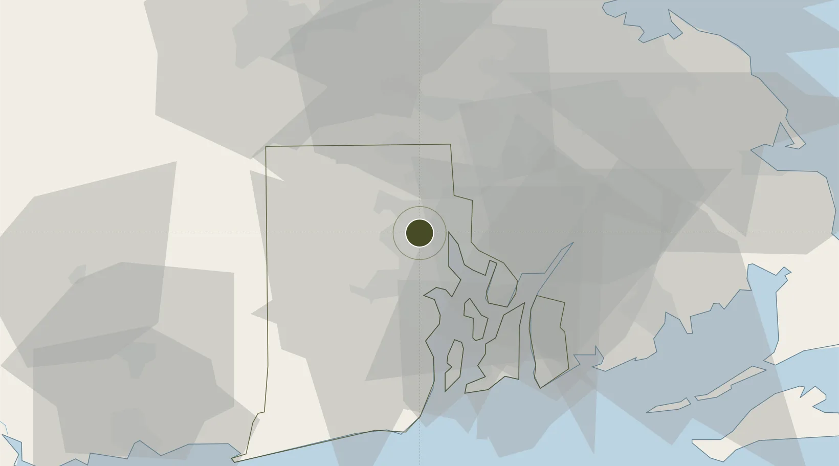
FTZ No. 105 Providence and North Kingstown Active

41.8169°, -71.4562°
5.0 km
Nearest port
10.5 km
Nearest airport

Gateway access

Nearest neighbours — logibook spatial index (haversine) over the source coordinates

Zone profile

Zone type
Foreign Trade Zone
Open Zone Map
Region
Rhode Island
Open Zone Map
Status
Active
Open Zone Map
Management
Public
Open Zone Map
Operator
Rhode Island Commerce Corporation
Open Zone Map
Legal framework
Foreign-Trade Zones Act
Open Zone Map

Location

Location of ozm-4760
Natural Earth 10m (public domain) · Rhode Island · ozm-4760 · 41.82, -71.46GoogleOSMYandex

Nearby Logistics Neighbours

Ports
  1. 1Providence5 km
  2. 2Davisville Depot23 km
  3. 3Bristol23 km
  4. 4Quonset Point26 km
  5. 5Fall River27 km
Nearest neighbours — logibook spatial index (haversine) over the source coordinates
Airports
  1. 1Rhode Island T. F. Green International Airport11 km
  2. 2Quonset State Airport25 km
  3. 3Newport State Airport35 km
  4. 4New Bedford Regional Airport44 km
  5. 5Norwood Memorial Airport48 km
Nearest neighbours — logibook spatial index (haversine) over the source coordinates
Cities
  1. 1Saylesville9 km
  2. 2Rumford10 km
  3. 3Riverside10 km
  4. 4Fiskeville12 km
  5. 5South Attleboro13 km
Nearest neighbours — logibook spatial index (haversine) over the source coordinates
Trade Zones
  1. 1FTZ No. 028 New Bedford42 km
  2. 2FTZ No. 027 Boston62 km
  3. 3FTZ No. 208 New London74 km
  4. 4FTZ No. 071 Windsor Locks98 km
  5. 5FTZ No. 201 Holyoke113 km
Nearest neighbours — logibook spatial index (haversine) over the source coordinates
DatabookThe Record of Consolidated Knowledge
United States beyond logistics?
Browse databook

All Sources

Trade ZonesOpen Zone Map
CC BY
Portsthe NGA World Port Index
Public domain (US gov)
AirportsOurAirports
Public domain
LocationsUN/LOCODE
UN/LOCODE — free
← United States trade zones