Transport Functions
Road
Multimodal
Hub Profile
Place type
Populated place
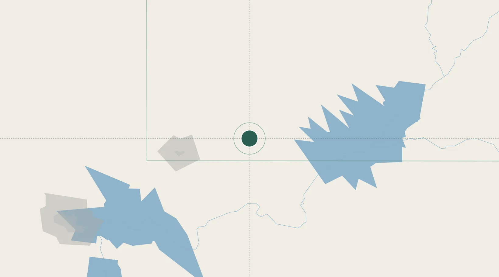
Region
Utah
Population
365
Time zone
America/Denver
Elevation
1,761 m
Location
Nearby Logistics Neighbours
Cities
- 1Brian Head46 km
- 2Washington83 km
- 3Circleville99 km
- 4Minersville102 km
- 5Enterprise, Washington102 km
Ports
- 1Newport Beach632 km
- 2Long Beach641 km
- 3Los Angeles647 km
- 4El Segundo649 km
- 5San Diego660 km
Airports
- 1Bryce Canyon Airport59 km
- 2Cedar City Regional Airport61 km
- 3St George Regional Airport87 km
- 4Page Municipal Airport111 km
- 5Mesquite Airport140 km
Trade Zones
- 1FTZ No. 170 Clark County348 km
- 2FTZ No. 089 Clark County348 km
- 3FTZ No. 030 Salt Lake City388 km
- 4FTZ No. 277 Western Maricopa County422 km
- 5FTZ No. 075 Phoenix433 km
DatabookThe Record of Consolidated Knowledge
United States beyond logistics?