UN/LOCODE hub · United States
USWGT
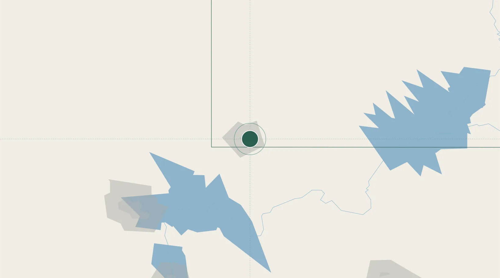
Washington
37.1167°, -113.5000°
24,299
Population
2
Transport functions
Transport Functions
Road
Multimodal
Hub Profile
Place type
Populated place
Region
Utah
Population
24,299
Time zone
America/Denver
Elevation
851 m
Location
Nearby Logistics Neighbours
Cities
- 1Enterprise, Washington54 km
- 2Glendale83 km
- 3Brian Head85 km
- 4Beryl86 km
- 5Overton, Clark107 km
Ports
- 1Newport Beach557 km
- 2Long Beach564 km
- 3Los Angeles570 km
- 4El Segundo571 km
- 5San Diego593 km
Airports
- 1St George Regional Airport9 km
- 2Mesquite Airport59 km
- 3Cedar City Regional Airport74 km
- 4Bryce Canyon Airport137 km
- 5Nellis Air Force Base168 km
Trade Zones
- 1FTZ No. 170 Clark County267 km
- 2FTZ No. 089 Clark County267 km
- 3FTZ No. 277 Western Maricopa County414 km
- 4FTZ No. 030 Salt Lake City427 km
- 5FTZ No. 075 Phoenix428 km
DatabookThe Record of Consolidated Knowledge
United States beyond logistics?