Transport Functions
Road
Multimodal
Hub Profile
Place type
Populated place
Region
New Mexico
Time zone
America/Denver
Elevation
2,134 m
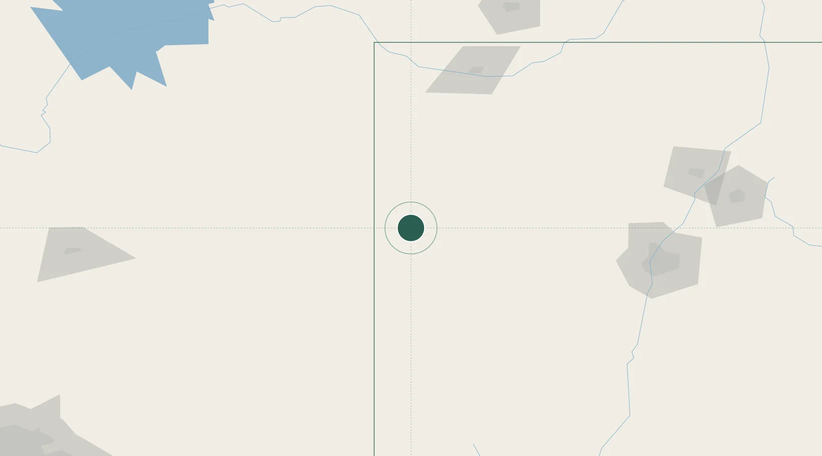
Location
Nearby Logistics Neighbours
Cities
- 1Prewitt64 km
- 2Cuba174 km
- 3Pinedale186 km
- 4Dalies186 km
- 5Bosque Farms195 km
Ports
- 1Ensenada831 km
- 2San Diego834 km
- 3Rosarito843 km
- 4Guaymas859 km
- 5Newport Beach863 km
Airports
- 1Gallup Municipal Airport12 km
- 2Four Corners Regional Airport154 km
- 3Show Low Regional Airport173 km
- 4Double Eagle II Airport179 km
- 5Winslow Lindbergh Regional Airport186 km
Trade Zones
- 1FTZ No. 110 Albuquerque178 km
- 2FTZ No. 197 Dona Ana County356 km
- 3FTZ No. 221 Mesa361 km
- 4FTZ No. 075 Phoenix377 km
- 5FTZ No. 277 Western Maricopa County385 km
DatabookThe Record of Consolidated Knowledge
United States beyond logistics?