UN/LOCODE hub · United States
USBQR
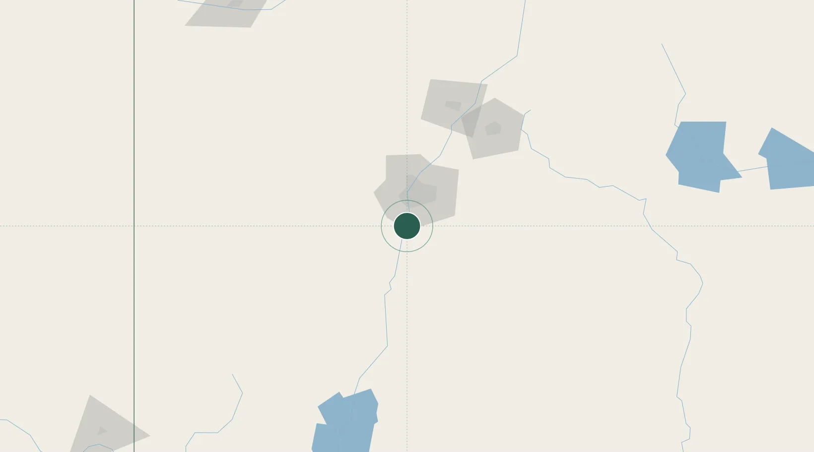
Bosque Farms
34.8500°, -106.7000°
3,838
Population
2
Transport functions
Transport Functions
Road
Multimodal
Hub Profile
Place type
Populated place
Region
New Mexico
Population
3,838
Time zone
America/Denver
Elevation
1,483 m
Location
Nearby Logistics Neighbours
Cities
- 1Los Lunas6 km
- 2Dalies17 km
- 3Bernalillo52 km
- 4Edgewood52 km
- 5Moriarty63 km
Ports
- 1Guaymas868 km
- 2Ensenada980 km
- 3Santa Rosalia990 km
- 4Isla San Marcos995 km
- 5San Diego997 km
Airports
Trade Zones
- 1FTZ No. 110 Albuquerque28 km
- 2FTZ No. 197 Dona Ana County278 km
- 3FTZ No. 068 El Paso338 km
- 4FTZ No. 150 El Paso338 km
- 5FTZ No. 260 Lubbock452 km
DatabookThe Record of Consolidated Knowledge
United States beyond logistics?