Medium airport · United States

Winslow Lindbergh Regional AirportKINW

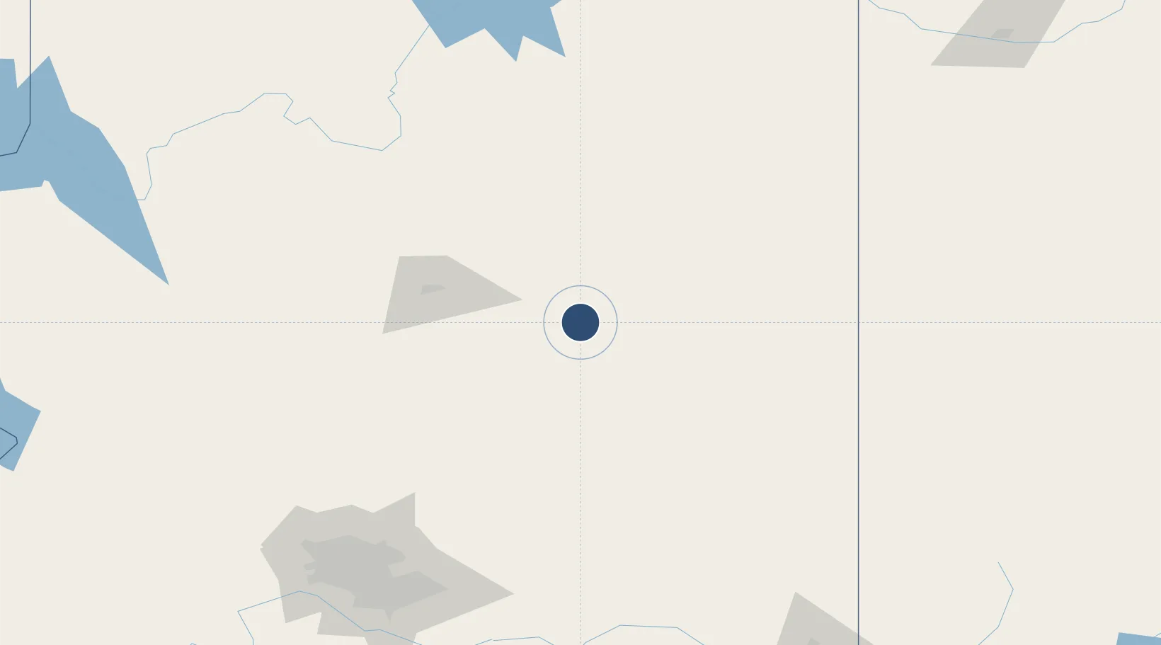
35.0219°, -110.7230°
7,499 ft
Longest runway
2
Runways
4,941 ft
Elevation

Runway & Layout

Winslow Lindbergh Regional Airport runway & taxiway layout
Runway & taxiway layout — OpenStreetMap (ODbL) / OurAirports

Radio Frequencies

ASOS
118.875 MHz
CNTR
124.5 MHz
ALBUQUERQUE CNTR
RDO
122.6 MHz
PRESCOTT RDO
UNIC
122.8 MHz
CTAF/UNICOM
OurAirports

Runways · 2

RunwayDimensions SurfaceTrue headingLit
04/22 7,499 × 150ft Asphalt 058°
11/29 7,100 × 150ft Asphalt 120°
OurAirports

Airport Specifications

IATA code
INW
OurAirports
ICAO code
KINW
OurAirports
Airport class
Medium airport
OurAirports
Scheduled service
No
OurAirports
Runway surface
Asphalt
OurAirports
Served city
Winslow
OurAirports

Location

Location of KINW
Natural Earth 10m (public domain) · Arizona · KINW · 35.02, -110.72GoogleOSMYandex

Nearby Logistics Neighbours

Airports
  1. 1Flagstaff Pulliam Airport87 km
  2. 2Show Low Regional Airport107 km
  3. 3Prescott Regional Airport - Ernest A. Love Field160 km
  4. 4Grand Canyon National Park Airport165 km
  5. 5Gallup Municipal Airport184 km
Nearest neighbours — logibook spatial index (haversine) over the source coordinates
Cities
  1. 1Pinedale91 km
  2. 2Bellemont104 km
  3. 3Cornville114 km
  4. 4Parks115 km
  5. 5Humboldt150 km
Nearest neighbours — logibook spatial index (haversine) over the source coordinates
Ports
  1. 1San Diego649 km
  2. 2Ensenada651 km
  3. 3Rosarito660 km
  4. 4Newport Beach677 km
  5. 5Long Beach698 km
Nearest neighbours — logibook spatial index (haversine) over the source coordinates
Trade Zones
  1. 1FTZ No. 221 Mesa206 km
  2. 2FTZ No. 075 Phoenix215 km
  3. 3FTZ No. 277 Western Maricopa County218 km
  4. 4FTZ No. 174 Pima County305 km
  5. 5FTZ No. 110 Albuquerque356 km
Nearest neighbours — logibook spatial index (haversine) over the source coordinates
DatabookThe Record of Consolidated Knowledge
United States beyond logistics?
Browse databook

All Sources

AirportsOurAirports
Public domain
Portsthe NGA World Port Index
Public domain (US gov)
LocationsUN/LOCODE
UN/LOCODE — free
Trade Zonesthe World Bank SEZ database
CC BY 4.0
Trade ZonesOpen Zone Map
CC BY
InfrastructureOpenStreetMap
ODbL 1.0
← United States airports