Transport Functions
Road
Multimodal
Hub Profile
Place type
Populated place
Region
Arizona
Population
487
Time zone
America/Phoenix
Elevation
1,968 m
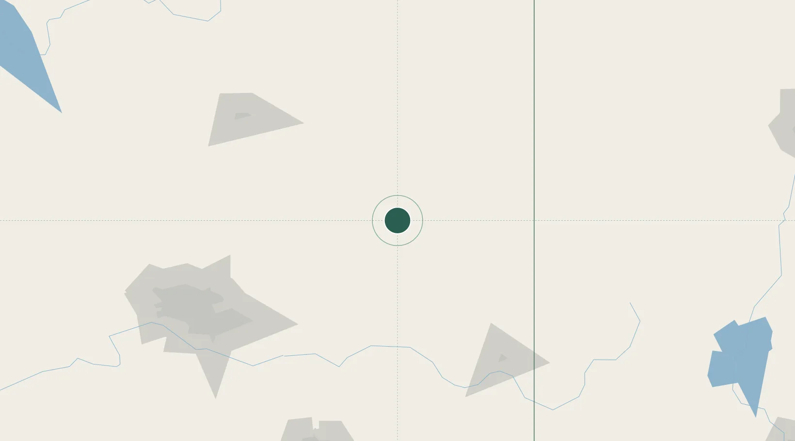
Location
Nearby Logistics Neighbours
Cities
- 1San Carlos, Graham107 km
- 2Hayden153 km
- 3Morenci158 km
- 4Cornville160 km
- 5Cave Creek164 km
Ports
- 1Ensenada653 km
- 2San Diego666 km
- 3Rosarito672 km
- 4Newport Beach710 km
- 5Guaymas713 km
Airports
Trade Zones
- 1FTZ No. 221 Mesa176 km
- 2FTZ No. 075 Phoenix194 km
- 3FTZ No. 277 Western Maricopa County204 km
- 4FTZ No. 174 Pima County233 km
- 5FTZ No. 139 Sierra Vista305 km
DatabookThe Record of Consolidated Knowledge
United States beyond logistics?