Medium airport · United States

Show Low Regional AirportKSOW

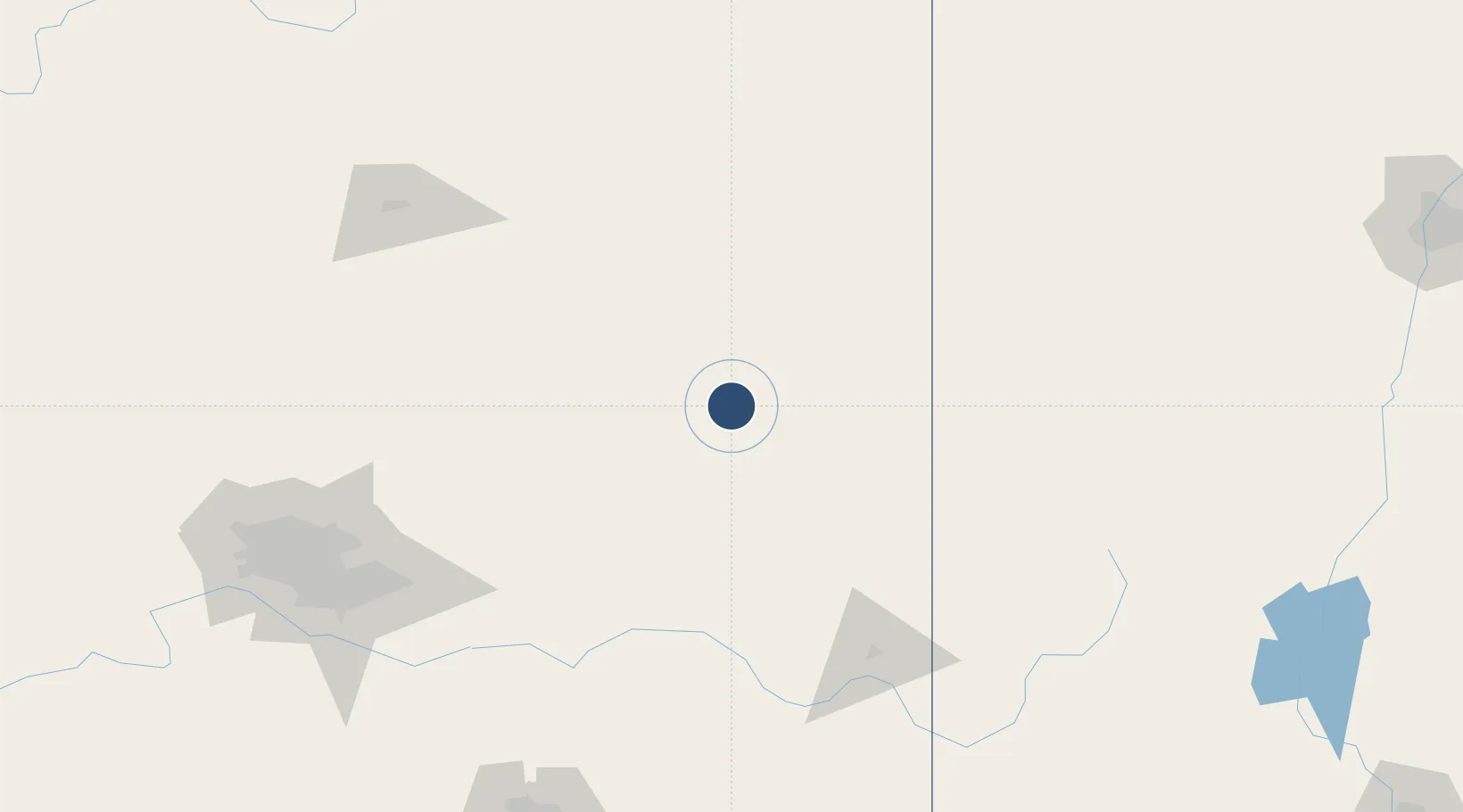
34.2641°, -110.0071°
7,202 ft
Longest runway
2
Runways
6,415 ft
Elevation

Runway & Layout

Show Low Regional Airport runway & taxiway layout
Runway & taxiway layout — OpenStreetMap (ODbL) / OurAirports

Radio Frequencies

AWOS
118.075 MHz
AWOS 3
CNTR
132.9 MHz
ALBUQUERQUE CNTR
UNIC
123 MHz
CTAF/UNICOM
OurAirports

Runways · 2

RunwayDimensions SurfaceTrue headingLit
07/25 7,202 × 100ft Asphalt 076°
04/22 3,938 × 60ft Asphalt 048°
OurAirports

Airport Specifications

IATA code
SOW
OurAirports
ICAO code
KSOW
OurAirports
Airport class
Medium airport
OurAirports
Scheduled service
Yes
OurAirports
Runway surface
Asphalt
OurAirports
Served city
Show Low
OurAirports

Location

Location of KSOW
Natural Earth 10m (public domain) · Arizona · KSOW · 34.26, -110.01GoogleOSMYandex

Nearby Logistics Neighbours

Airports
  1. 1Winslow Lindbergh Regional Airport107 km
  2. 2Gallup Municipal Airport178 km
  3. 3Flagstaff Pulliam Airport181 km
  4. 4Mesa Gateway Airport186 km
  5. 5Phoenix Sky Harbor International Airport206 km
Nearest neighbours — logibook spatial index (haversine) over the source coordinates
Cities
  1. 1Pinedale23 km
  2. 2San Carlos, Graham110 km
  3. 3Morenci144 km
  4. 4Central157 km
  5. 5Hayden158 km
Nearest neighbours — logibook spatial index (haversine) over the source coordinates
Ports
  1. 1Ensenada672 km
  2. 2San Diego687 km
  3. 3Rosarito692 km
  4. 4Guaymas711 km
  5. 5Newport Beach732 km
Nearest neighbours — logibook spatial index (haversine) over the source coordinates
Trade Zones
  1. 1FTZ No. 221 Mesa193 km
  2. 2FTZ No. 075 Phoenix212 km
  3. 3FTZ No. 277 Western Maricopa County223 km
  4. 4FTZ No. 174 Pima County236 km
  5. 5FTZ No. 139 Sierra Vista303 km
Nearest neighbours — logibook spatial index (haversine) over the source coordinates
DatabookThe Record of Consolidated Knowledge
United States beyond logistics?
Browse databook

All Sources

AirportsOurAirports
Public domain
Portsthe NGA World Port Index
Public domain (US gov)
LocationsUN/LOCODE
UN/LOCODE — free
Trade Zonesthe World Bank SEZ database
CC BY 4.0
Trade ZonesOpen Zone Map
CC BY
InfrastructureOpenStreetMap
ODbL 1.0
← United States airports