Transport Functions
Rail
Road
Hub Profile
Place type
Populated place
Region
New Mexico
Time zone
America/Denver
Elevation
1,618 m
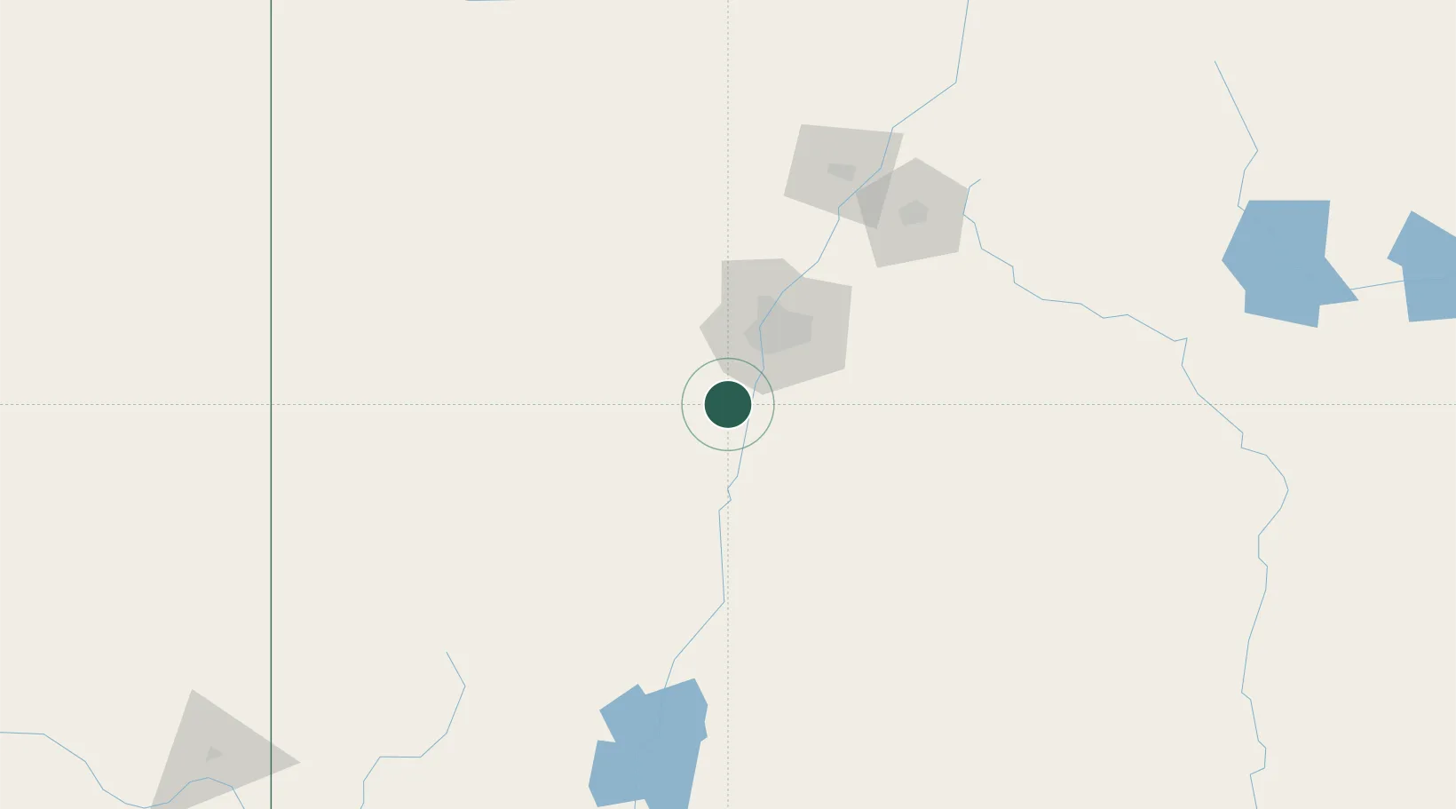
Location
Nearby Logistics Neighbours
Cities
- 1Los Lunas13 km
- 2Bosque Farms17 km
- 3Bernalillo65 km
- 4Edgewood69 km
- 5Willard77 km
Ports
- 1Guaymas854 km
- 2Ensenada964 km
- 3Santa Rosalia975 km
- 4Isla San Marcos980 km
- 5San Diego982 km
Airports
Trade Zones
- 1FTZ No. 110 Albuquerque35 km
- 2FTZ No. 197 Dona Ana County266 km
- 3FTZ No. 068 El Paso331 km
- 4FTZ No. 150 El Paso331 km
- 5FTZ No. 260 Lubbock462 km
DatabookThe Record of Consolidated Knowledge
United States beyond logistics?