Transport Functions
Rail
Road
Hub Profile
Place type
Populated place
Region
New Mexico
Time zone
America/Denver
Elevation
2,081 m
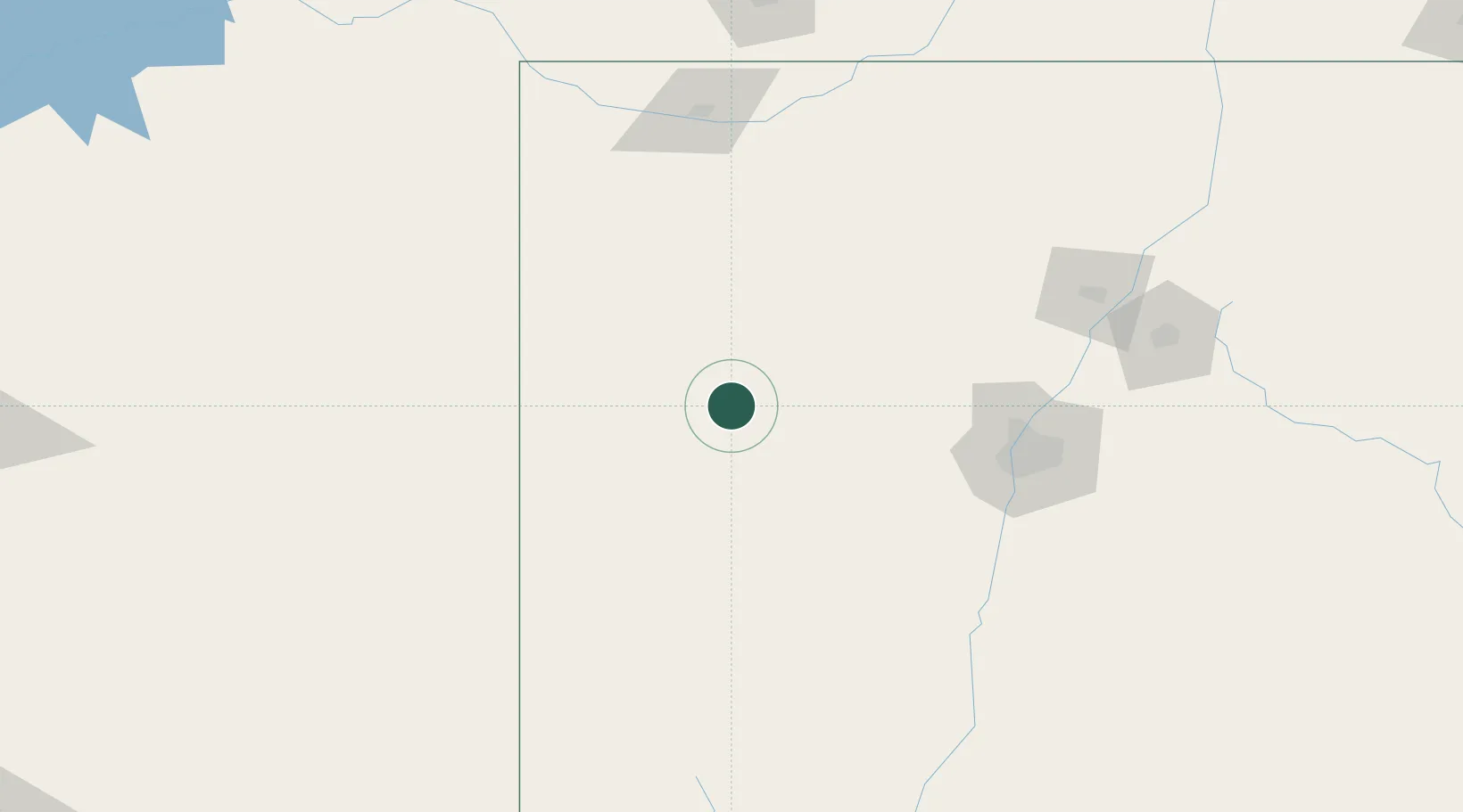
Location
Nearby Logistics Neighbours
Cities
- 1Fort Wingate64 km
- 2Cuba123 km
- 3Dalies126 km
- 4Bosque Farms133 km
- 5Los Lunas135 km
Ports
- 1Guaymas870 km
- 2Ensenada885 km
- 3San Diego892 km
- 4Rosarito900 km
- 5Newport Beach924 km
Airports
- 1Gallup Municipal Airport71 km
- 2Double Eagle II Airport115 km
- 3Albuquerque International Sunport134 km
- 4Four Corners Regional Airport156 km
- 5Santa Fe Municipal Airport179 km
Trade Zones
- 1FTZ No. 110 Albuquerque115 km
- 2FTZ No. 197 Dona Ana County332 km
- 3FTZ No. 221 Mesa410 km
- 4FTZ No. 068 El Paso422 km
- 5FTZ No. 150 El Paso422 km
DatabookThe Record of Consolidated Knowledge
United States beyond logistics?