UN/LOCODE hub · United States
USFC3
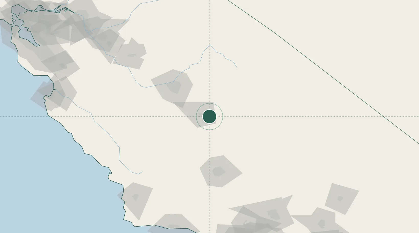
Farmersville
36.2833°, -119.2000°
10,774
Population
1
Transport functions
Transport Functions
Multimodal
Hub Profile
Place type
Populated place
Region
California
Population
10,774
Time zone
America/Los_Angeles
Elevation
109 m
Location
Nearby Logistics Neighbours
Cities
- 1Goshen21 km
- 2Hanford39 km
- 3Terra Bella40 km
- 4Laton46 km
- 5Ducor47 km
Ports
- 1Morro Bay180 km
- 2Pismo Beach183 km
- 3Port San Luis187 km
- 4Santa Barbara212 km
- 5Carpinteria213 km
Airports
Trade Zones
- 1FTZ No. 276 Kern County103 km
- 2FTZ No. 226 Merced, Madera and Fresno Counties161 km
- 3FTZ No. 191 Palmdale214 km
- 4FTZ No. 205 Port Hueneme237 km
- 5FTZ No. 243 Victorville251 km
DatabookThe Record of Consolidated Knowledge
United States beyond logistics?