UN/LOCODE hub · United States
USHNF
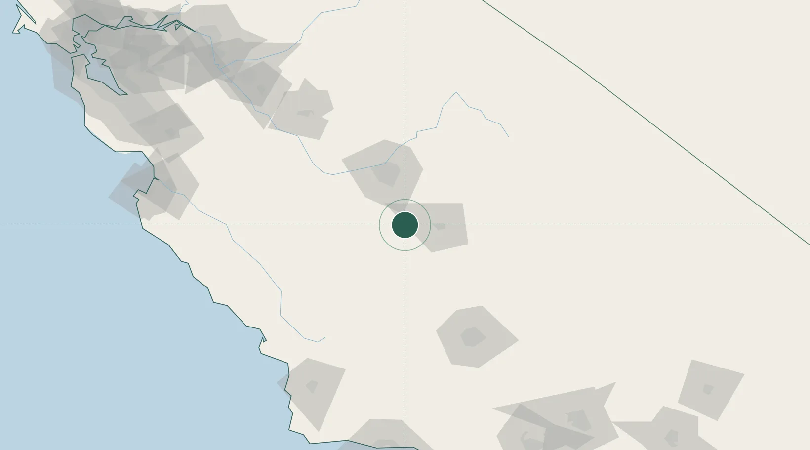
Hanford
36.3333°, -119.6333°
55,659
Population
2
Transport functions
Transport Functions
Rail
Road
Hub Profile
Place type
Provincial seat
Region
California
Population
55,659
Time zone
America/Los_Angeles
Elevation
76 m
Location
Nearby Logistics Neighbours
Cities
- 1Laton12 km
- 2Goshen20 km
- 3Stratford23 km
- 4Del Rey35 km
- 5Farmersville39 km
Ports
- 1Morro Bay154 km
- 2Pismo Beach162 km
- 3Port San Luis164 km
- 4Moss199 km
- 5Monterey204 km
Airports
Trade Zones
- 1FTZ No. 276 Kern County121 km
- 2FTZ No. 226 Merced, Madera and Fresno Counties132 km
- 3FTZ No. 018 San Jose229 km
- 4FTZ No. 231 Stockton234 km
- 5FTZ No. 191 Palmdale239 km
DatabookThe Record of Consolidated Knowledge
United States beyond logistics?