UN/LOCODE hub · United States
USVVC
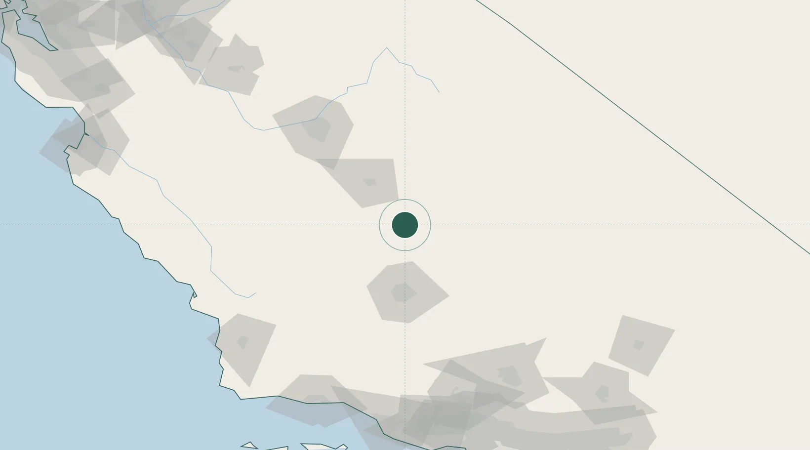
Terra Bella
35.9500°, -119.0333°
3,310
Population
2
Transport functions
Transport Functions
Port
Road
Hub Profile
Place type
Populated place
Region
California
Population
3,310
Time zone
America/Los_Angeles
Elevation
148 m
Location
Nearby Logistics Neighbours
Cities
- 1Ducor7 km
- 2Richgrove18 km
- 3Farmersville40 km
- 4Shafter, Kern54 km
- 5Goshen56 km
Ports
- 1Pismo Beach172 km
- 2Morro Bay177 km
- 3Port San Luis178 km
- 4Carpinteria180 km
- 5Santa Barbara180 km
Airports
Trade Zones
- 1FTZ No. 276 Kern County64 km
- 2FTZ No. 191 Palmdale174 km
- 3FTZ No. 226 Merced, Madera and Fresno Counties199 km
- 4FTZ No. 205 Port Hueneme201 km
- 5FTZ No. 243 Victorville214 km
DatabookThe Record of Consolidated Knowledge
United States beyond logistics?