Transport Functions
Rail
Road
Hub Profile
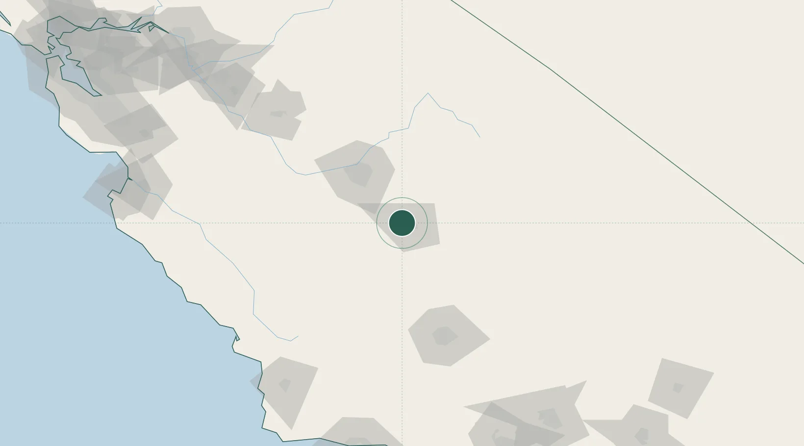
Place type
Populated place
Region
California
Population
3,006
Time zone
America/Los_Angeles
Elevation
87 m
Location
Nearby Logistics Neighbours
Cities
- 1Hanford20 km
- 2Farmersville21 km
- 3Laton26 km
- 4Del Rey37 km
- 5Stratford40 km
Ports
- 1Morro Bay169 km
- 2Pismo Beach175 km
- 3Port San Luis178 km
- 4Santa Barbara216 km
- 5Moss217 km
Airports
Trade Zones
- 1FTZ No. 276 Kern County115 km
- 2FTZ No. 226 Merced, Madera and Fresno Counties143 km
- 3FTZ No. 191 Palmdale230 km
- 4FTZ No. 205 Port Hueneme245 km
- 5FTZ No. 018 San Jose246 km
DatabookThe Record of Consolidated Knowledge
United States beyond logistics?