Transport Functions
Road
Multimodal
Hub Profile
Place type
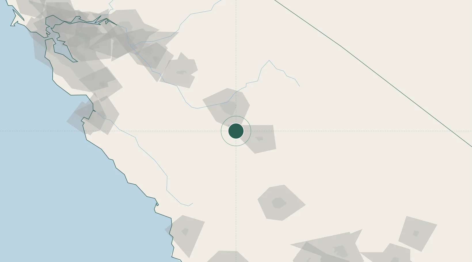
Populated place
Region
California
Population
1,824
Time zone
America/Los_Angeles
Elevation
79 m
Location
Nearby Logistics Neighbours
Ports
- 1Morro Bay159 km
- 2Pismo Beach169 km
- 3Port San Luis171 km
- 4Moss192 km
- 5Monterey198 km
Airports
Trade Zones
- 1FTZ No. 226 Merced, Madera and Fresno Counties120 km
- 2FTZ No. 276 Kern County132 km
- 3FTZ No. 018 San Jose220 km
- 4FTZ No. 231 Stockton223 km
- 5FTZ No. 191 Palmdale250 km
DatabookThe Record of Consolidated Knowledge
United States beyond logistics?