Large airport · United States

Fresno Yosemite International AirportKFAT

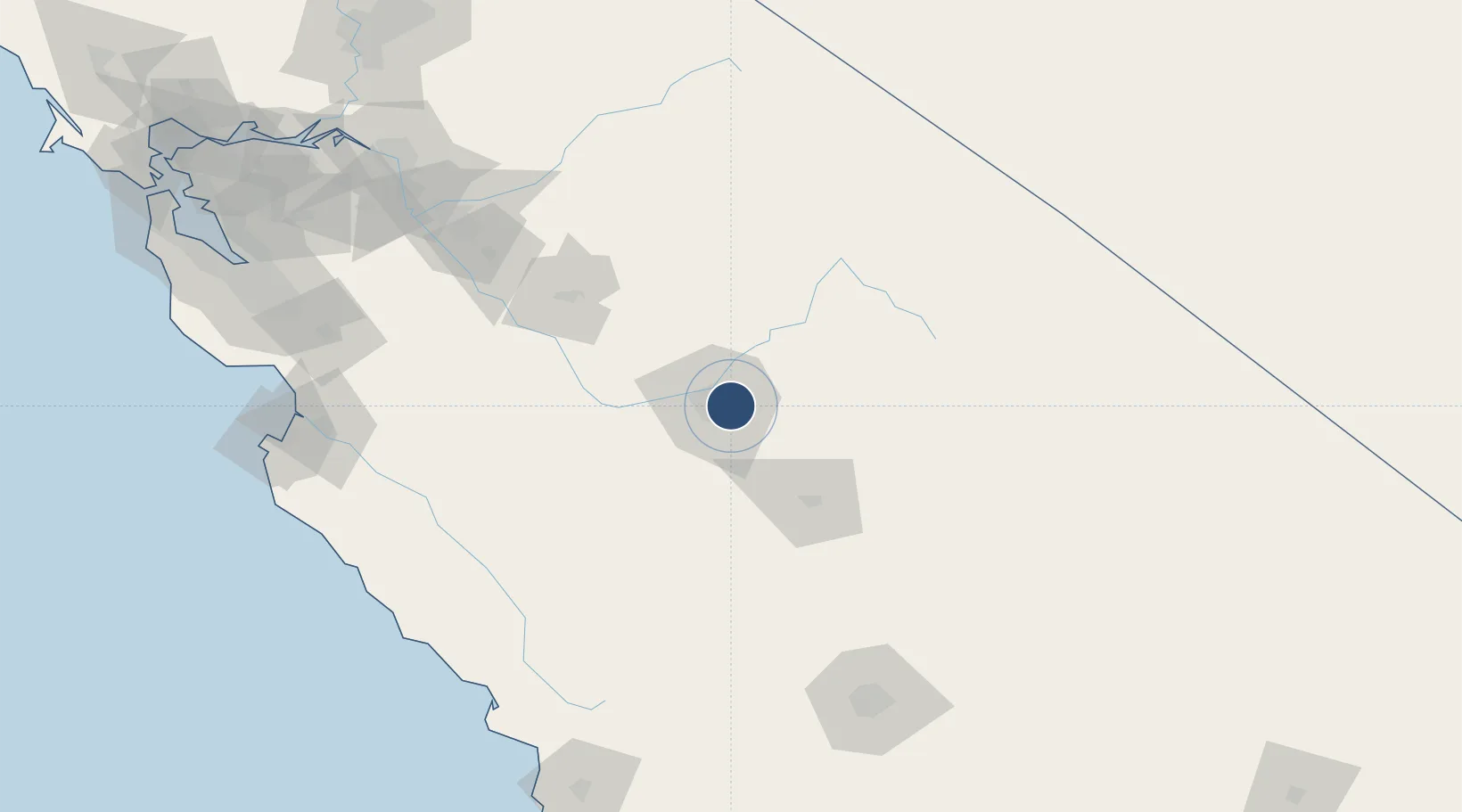
36.7758°, -119.7180°
9,539 ft
Longest runway
2
Runways
336 ft
Elevation

Runway & Layout

Fresno Yosemite International Airport runway & taxiway layout
Runway & taxiway layout — OpenStreetMap (ODbL) / OurAirports

Radio Frequencies

ATIS
121.35 MHz
TWR
118.2 MHz
GND
121.7 MHz
CLD
124.35 MHz
CLNC DEL
A/D
35.195 MHz
APP/DEP
A/D
118.5 MHz
APP/DEP
MISC
138.15 MHz
ANG OPS
OPS
40.95 MHz
ARNG OPS
RDO
122.2 MHz
RANCHO RDO
UNIC
122.95 MHz
UNICOM
OurAirports

Navaids

CZQ VORTAC Clovis 112.90 MHz
OurAirports

Runways · 2

RunwayDimensions SurfaceTrue headingLit
11L/29R 9,539 × 150ft Asphalt 125°
11R/29L 8,008 × 150ft Asphalt 125°
OurAirports

Airport Specifications

IATA code
FAT
OurAirports
ICAO code
KFAT
OurAirports
Airport class
Large airport
OurAirports
Scheduled service
Yes
OurAirports
Runway surface
Asphalt
OurAirports
Served city
Fresno
OurAirports

Location

Location of KFAT
Natural Earth 10m (public domain) · California · KFAT · 36.78, -119.72GoogleOSMYandex

Nearby Logistics Neighbours

Airports
  1. 1Lemoore Naval Air Station (Reeves Field) Airport54 km
  2. 2Visalia Municipal Airport59 km
  3. 3Merced Regional Macready Field91 km
  4. 4Castle Airport101 km
  5. 5Mammoth Yosemite Airport122 km
Nearest neighbours — logibook spatial index (haversine) over the source coordinates
Cities
  1. 1Del Rey18 km
  2. 2Biola27 km
  3. 3Laton38 km
  4. 4Hanford50 km
  5. 5Goshen55 km
Nearest neighbours — logibook spatial index (haversine) over the source coordinates
Ports
  1. 1Moss184 km
  2. 2Morro Bay187 km
  3. 3Stockton191 km
  4. 4Monterey194 km
  5. 5Pismo Beach201 km
Nearest neighbours — logibook spatial index (haversine) over the source coordinates
Trade Zones
  1. 1FTZ No. 226 Merced, Madera and Fresno Counties90 km
  2. 2FTZ No. 276 Kern County168 km
  3. 3FTZ No. 231 Stockton193 km
  4. 4FTZ No. 018 San Jose202 km
  5. 5FTZ No. 056 Oakland253 km
Nearest neighbours — logibook spatial index (haversine) over the source coordinates
DatabookThe Record of Consolidated Knowledge
United States beyond logistics?
Browse databook

All Sources

AirportsOurAirports
Public domain
Portsthe NGA World Port Index
Public domain (US gov)
LocationsUN/LOCODE
UN/LOCODE — free
Trade Zonesthe World Bank SEZ database
CC BY 4.0
Trade ZonesOpen Zone Map
CC BY
InfrastructureOpenStreetMap
ODbL 1.0
← United States airports