Medium airport · United States
Ely Airport Yelland FieldKELY
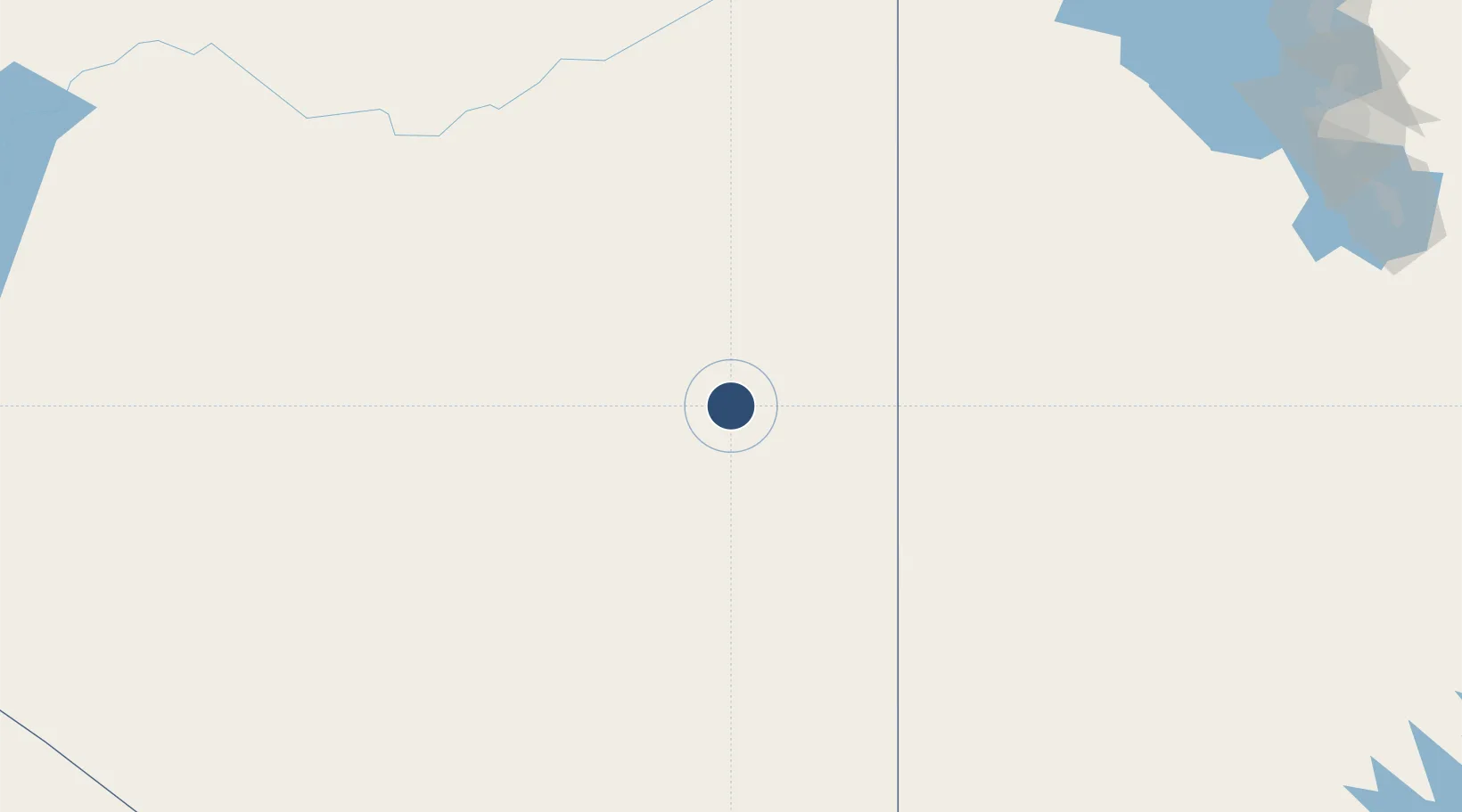
39.2997°, -114.8420°
6,017 ft
Longest runway
2
Runways
6,259 ft
Elevation
Runway & Layout

Radio Frequencies
ASOS
120.625 MHz
CNTR
133.45 MHz
SALT LAKE CNTR
UNIC
122.8 MHz
CTAF/UNICOM
Runways · 2
| Runway | Dimensions | Surface | True heading | Lit |
|---|---|---|---|---|
| 18/36 | 6,017 × 150ft | Asphalt | 194° | ✓ |
| 12/30 | 4,825 × 60ft | Asphalt | 141° | ✓ |
Airport Specifications
IATA code
ELY
ICAO code
KELY
Airport class
Medium airport
Scheduled service
No
Runway surface
Asphalt
Served city
Ely
Location
Nearby Logistics Neighbours
Airports
- 1Wendover Airport172 km
- 2Elko Regional Airport188 km
- 3Cedar City Regional Airport234 km
- 4Tonopah Airport239 km
- 5Homey (Area 51) Airport245 km
Cities
- 1Clifton125 km
- 2Wendover174 km
- 3Beryl189 km
- 4Carlin191 km
- 5Minersville207 km
Ports
- 1Stockton581 km
- 2Sacramento581 km
- 3Walnut Grove591 km
- 4Courtland592 km
- 5Isleton599 km
Trade Zones
- 1FTZ No. 030 Salt Lake City293 km
- 2FTZ No. 170 Clark County391 km
- 3FTZ No. 089 Clark County391 km
- 4FTZ No. 126 Sparks426 km
- 5FTZ No. 280 Ada and Canyon Counties502 km
DatabookThe Record of Consolidated Knowledge
United States beyond logistics?