Transport Functions
Rail
Road
Hub Profile
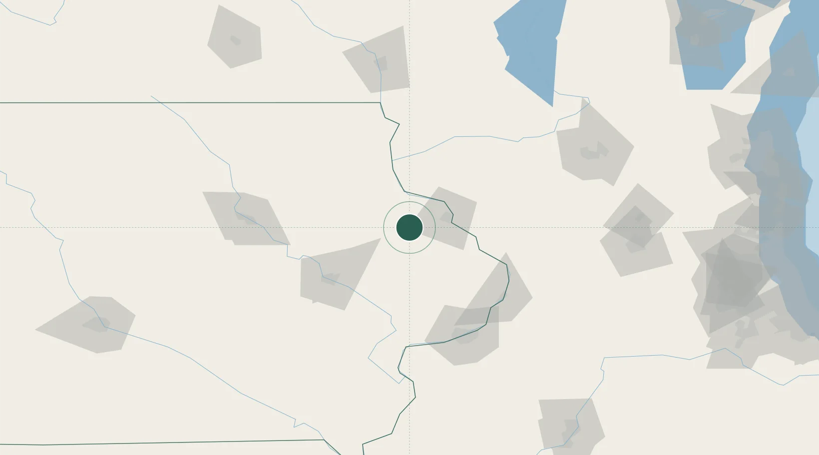
Place type
Populated place
Region
Iowa
Population
1,691
Time zone
America/Chicago
Elevation
341 m
Location
Nearby Logistics Neighbours
Cities
- 1New Vienna14 km
- 2Hopkinton22 km
- 3Earlville22 km
- 4Colesburg28 km
- 5East Dubuque31 km
Ports
- 1Great Lakes261 km
- 2Kenosha262 km
- 3Waukegan262 km
- 4Milwaukee263 km
- 5Racine265 km
Airports
Trade Zones
- 1FTZ No. 271 Jo-Daviess and Carroll Counties64 km
- 2FTZ No. 175 Cedar Rapids84 km
- 3FTZ No. 266 Dane County127 km
- 4FTZ No. 176 Rockford149 km
- 5FTZ No. 055 Burlington181 km
DatabookThe Record of Consolidated Knowledge
United States beyond logistics?