Transport Functions
Port
Rail
Road
Multimodal
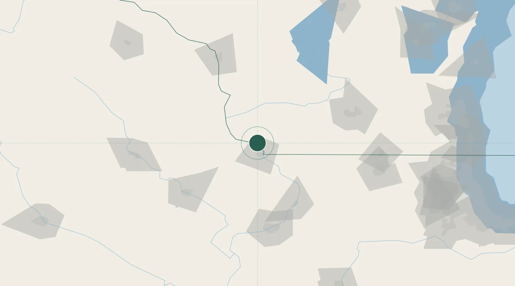
Hub Profile
Place type
Populated place
Region
Wisconsin
Time zone
America/Chicago
Elevation
200 m
Location
Nearby Logistics Neighbours
Cities
- 1East Dubuque22 km
- 2Platteville22 km
- 3Belmont32 km
- 4New Vienna35 km
- 5Farley35 km
Ports
- 1Milwaukee235 km
- 2Kenosha237 km
- 3Racine240 km
- 4Great Lakes240 km
- 5Waukegan240 km
Airports
- 1Dubuque Regional Airport29 km
- 2The Eastern Iowa Airport119 km
- 3Dane County Regional Truax Field124 km
- 4Quad City International Airport137 km
- 5Waterloo Regional Airport138 km
Trade Zones
- 1FTZ No. 271 Jo-Daviess and Carroll Counties55 km
- 2FTZ No. 266 Dane County94 km
- 3FTZ No. 175 Cedar Rapids119 km
- 4FTZ No. 176 Rockford132 km
- 5FTZ No. 055 Burlington209 km
DatabookThe Record of Consolidated Knowledge
United States beyond logistics?