Medium airport · United States
Homey (Area 51) AirportKXTA
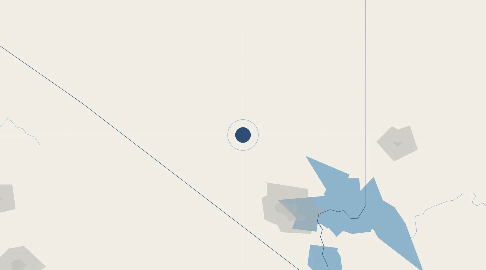
37.2350°, -115.8110°
12,000 ft
Longest runway
1
Runways
4,462 ft
Elevation
Runway & Layout

Runways · 1
| Runway | Dimensions | Surface | True heading | Lit |
|---|---|---|---|---|
| 14/32 | 12,000 × —ft | Unknown | — | — |
Airport Specifications
ICAO code
KXTA
Airport class
Medium airport
Scheduled service
No
Runway surface
Unknown
Served city
Groom Lake
Location
Nearby Logistics Neighbours
Airports
- 1Desert Rock Airport71 km
- 2North Las Vegas Airport127 km
- 3Nellis Air Force Base131 km
- 4Harry Reid International Airport141 km
- 5Tonopah Airport145 km
Cities
- 1Alamo60 km
- 2North Las Vegas127 km
- 3Nellis Air Force Base131 km
- 4Las Vegas133 km
- 5Overton, Clark144 km
Ports
- 1El Segundo439 km
- 2Long Beach441 km
- 3Newport Beach445 km
- 4Los Angeles446 km
- 5Ventura454 km
Trade Zones
- 1FTZ No. 170 Clark County148 km
- 2FTZ No. 089 Clark County148 km
- 3FTZ No. 243 Victorville326 km
- 4FTZ No. 276 Kern County354 km
- 5FTZ No. 191 Palmdale361 km
DatabookThe Record of Consolidated Knowledge
United States beyond logistics?