UN/LOCODE hub · United States
USFSY
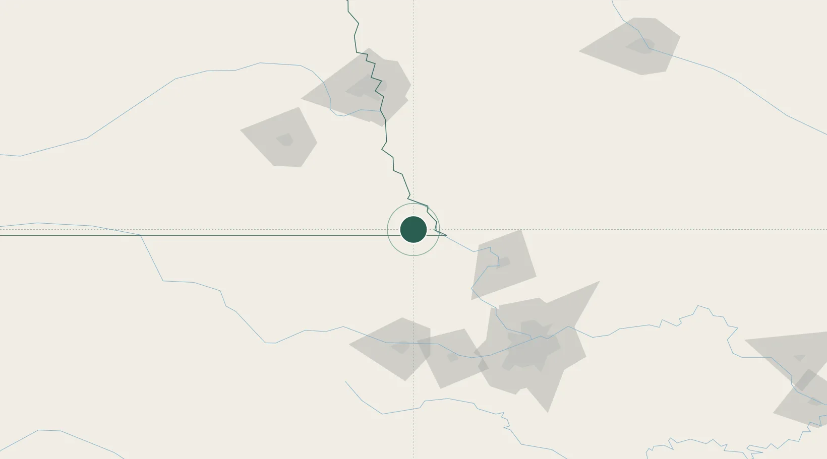
Falls City
40.0500°, -95.6000°
4,198
Population
2
Transport functions
Transport Functions
Port
Road
Hub Profile
Place type
Provincial seat
Region
Nebraska
Population
4,198
Time zone
America/Chicago
Elevation
308 m
Location
Nearby Logistics Neighbours
Ports
- 1Port Of Memphis732 km
- 2Kaukauna766 km
- 3Superior796 km
- 4Green Bay797 km
- 5Duluth798 km
Airports
- 1Rosecrans Memorial Airport67 km
- 2Philip Billard Municipal Airport109 km
- 3Kansas City International Airport113 km
- 4Offutt Air Force Base122 km
- 5Topeka Regional Airport122 km
Trade Zones
- 1FTZ No. 133 Quad-Cities, Iowa Illinois62 km
- 2FTZ No. 017 Kansas City124 km
- 3FTZ No. 059 Lincoln134 km
- 4FTZ No. 015 Kansas City148 km
- 5FTZ No. 107 Polk County240 km
DatabookThe Record of Consolidated Knowledge
United States beyond logistics?