Medium airport · United States
Columbus AirportKCSG
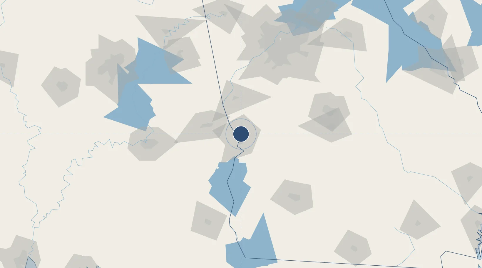
32.5164°, -84.9396°
6,997 ft
Longest runway
2
Runways
397 ft
Elevation
Runway & Layout

Radio Frequencies
ATIS
127.75 MHz
TWR
120.1 MHz
GND
121.9 MHz
CTAF
120.1 MHz
A/D
125.5 MHz
ATLANTA APP/DEP
RDO
122.65 MHz
MACON RDO
UNIC
122.95 MHz
UNICOM
Navaids
CS NDB Fenix 355 kHz
CSG VORTAC Columbus 117.10 MHz
Runways · 2
| Runway | Dimensions | Surface | True heading | Lit |
|---|---|---|---|---|
| 06/24 | 6,997 × 150ft | Asphalt | 054° | ✓ |
| 13/31 | 3,997 × 75ft | Asphalt | 127° | ✓ |
Airport Specifications
IATA code
CSG
ICAO code
KCSG
Airport class
Medium airport
Scheduled service
Yes
Runway surface
Asphalt
Served city
Columbus
Location
Nearby Logistics Neighbours
Airports
Cities
- 1Waverly Hall27 km
- 2Salem29 km
- 3Pine Mountain Valley33 km
- 4Seale34 km
- 5Cusseta42 km
Ports
- 1Panama City273 km
- 2Carrabelle298 km
- 3Port St Joe302 km
- 4Apalachicola311 km
- 5Pensacola319 km
Trade Zones
- 1FTZ No. 222 Montgomery130 km
- 2FTZ No. 026 Atlanta148 km
- 3FTZ No. 233 Dothan151 km
- 4FTZ No. 098 Birmingham207 km
- 5FTZ No. 065 Panama City268 km
DatabookThe Record of Consolidated Knowledge
United States beyond logistics?