UN/LOCODE hub · United States
USDDL
Dadeville
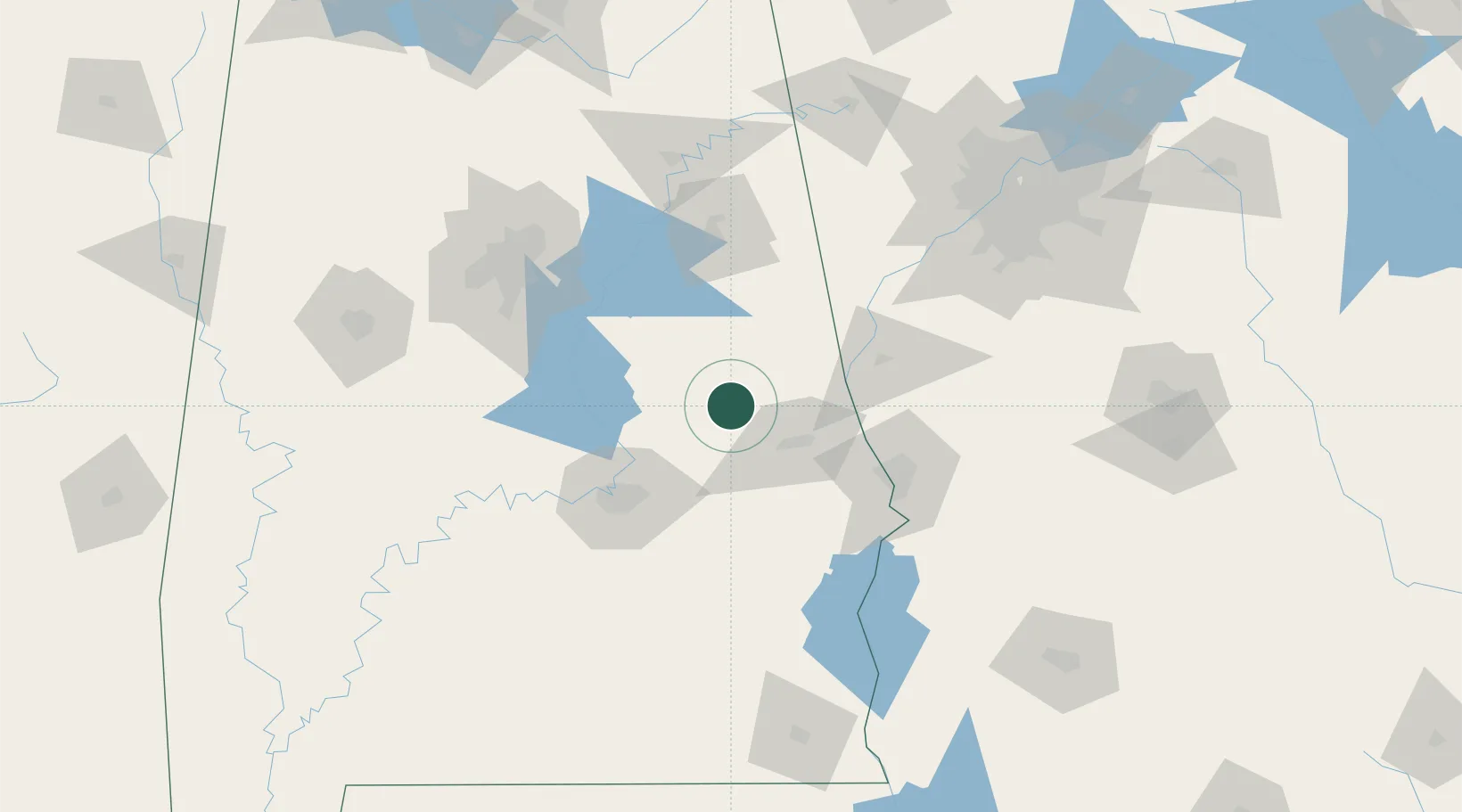
32.8167°, -85.7500°
3,150
Population
2
Transport functions
Transport Functions
Rail
Road
Hub Profile
Place type
Provincial seat
Region
Alabama
Population
3,150
Time zone
America/Chicago
Elevation
221 m
Location
Nearby Logistics Neighbours
Cities
- 1Camp Hill10 km
- 2Eclectic33 km
- 3Tallassee, Elmore34 km
- 4Lafayette34 km
- 5Wadley38 km
Ports
- 1Panama City299 km
- 2Pensacola303 km
- 3Mobile326 km
- 4Port St Joe336 km
- 5Carrabelle346 km
Airports
Trade Zones
- 1FTZ No. 222 Montgomery72 km
- 2FTZ No. 098 Birmingham126 km
- 3FTZ No. 026 Atlanta164 km
- 4FTZ No. 233 Dothan179 km
- 5FTZ No. 083 Huntsville224 km
DatabookThe Record of Consolidated Knowledge
United States beyond logistics?