Transport Functions
Rail
Road
Multimodal
Hub Profile
Place type
Populated place
Region
Alabama
Population
981
Time zone
America/Chicago
Elevation
217 m
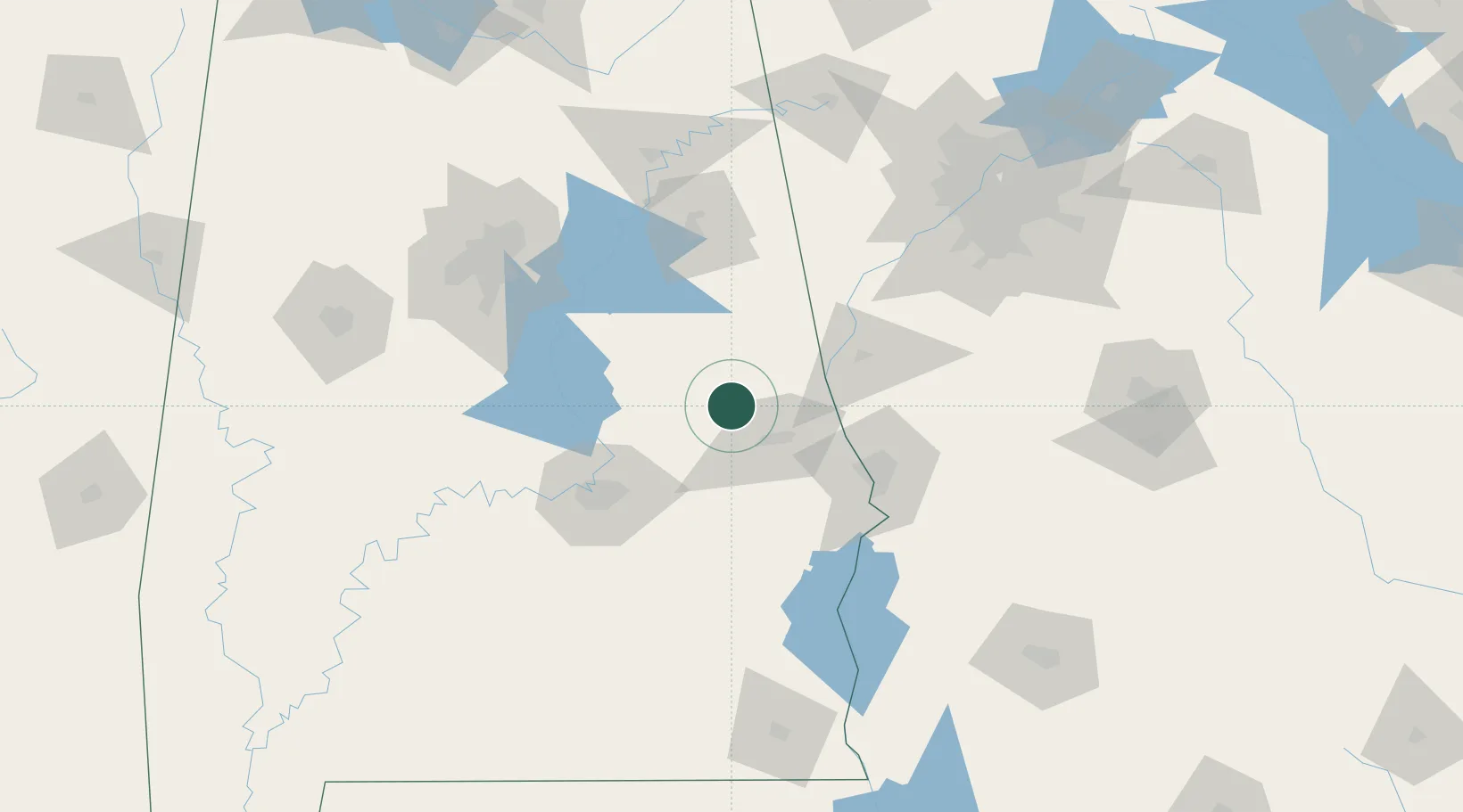
Location
Nearby Logistics Neighbours
Cities
- 1Dadeville10 km
- 2Lafayette26 km
- 3Wadley36 km
- 4Tallassee, Elmore37 km
- 5Cusseta37 km
Ports
- 1Panama City297 km
- 2Pensacola305 km
- 3Mobile331 km
- 4Port St Joe333 km
- 5Carrabelle341 km
Airports
Trade Zones
- 1FTZ No. 222 Montgomery78 km
- 2FTZ No. 098 Birmingham135 km
- 3FTZ No. 026 Atlanta159 km
- 4FTZ No. 233 Dothan176 km
- 5FTZ No. 083 Huntsville230 km
DatabookThe Record of Consolidated Knowledge
United States beyond logistics?