Transport Functions
Multimodal
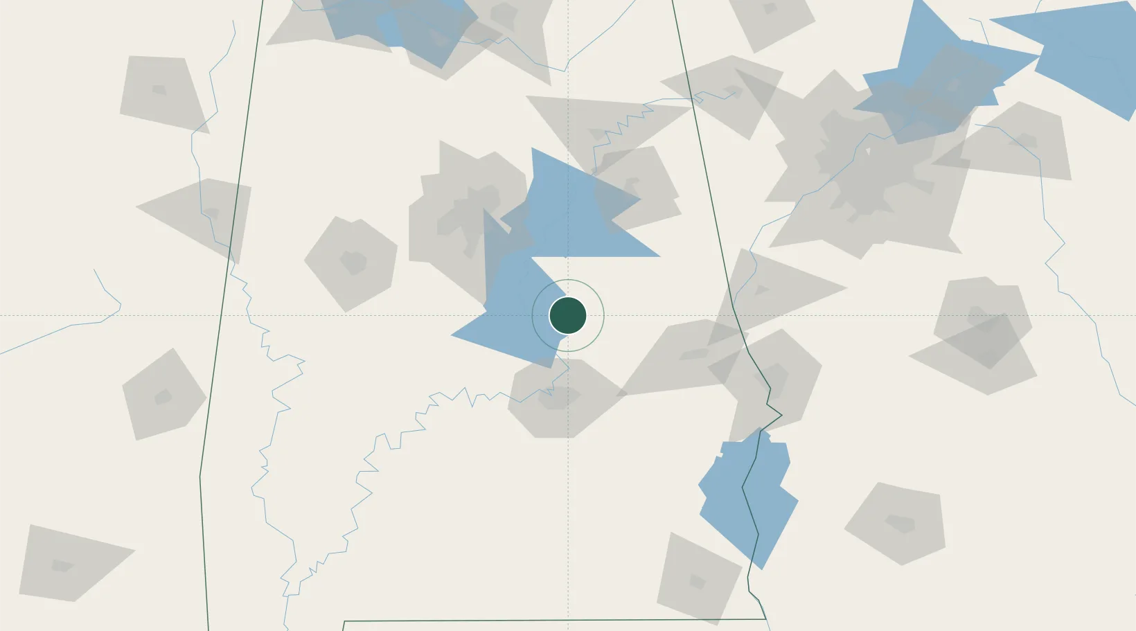
Hub Profile
Place type
Provincial seat
Region
Alabama
Population
449
Time zone
America/Chicago
Elevation
225 m
Location
Nearby Logistics Neighbours
Cities
- 1Eclectic33 km
- 2Clayton38 km
- 3Clanton39 km
- 4Dadeville44 km
- 5Childersburg46 km
Ports
- 1Pensacola292 km
- 2Mobile304 km
- 3Panama City311 km
- 4Port St Joe352 km
- 5Pascagoula359 km
Airports
Trade Zones
- 1FTZ No. 222 Montgomery57 km
- 2FTZ No. 098 Birmingham90 km
- 3FTZ No. 026 Atlanta196 km
- 4FTZ No. 233 Dothan199 km
- 5FTZ No. 083 Huntsville202 km
DatabookThe Record of Consolidated Knowledge
United States beyond logistics?