Transport Functions
Multimodal
Hub Profile
Place type
Populated place
Region
Virginia
Time zone
America/New_York
Elevation
335 m
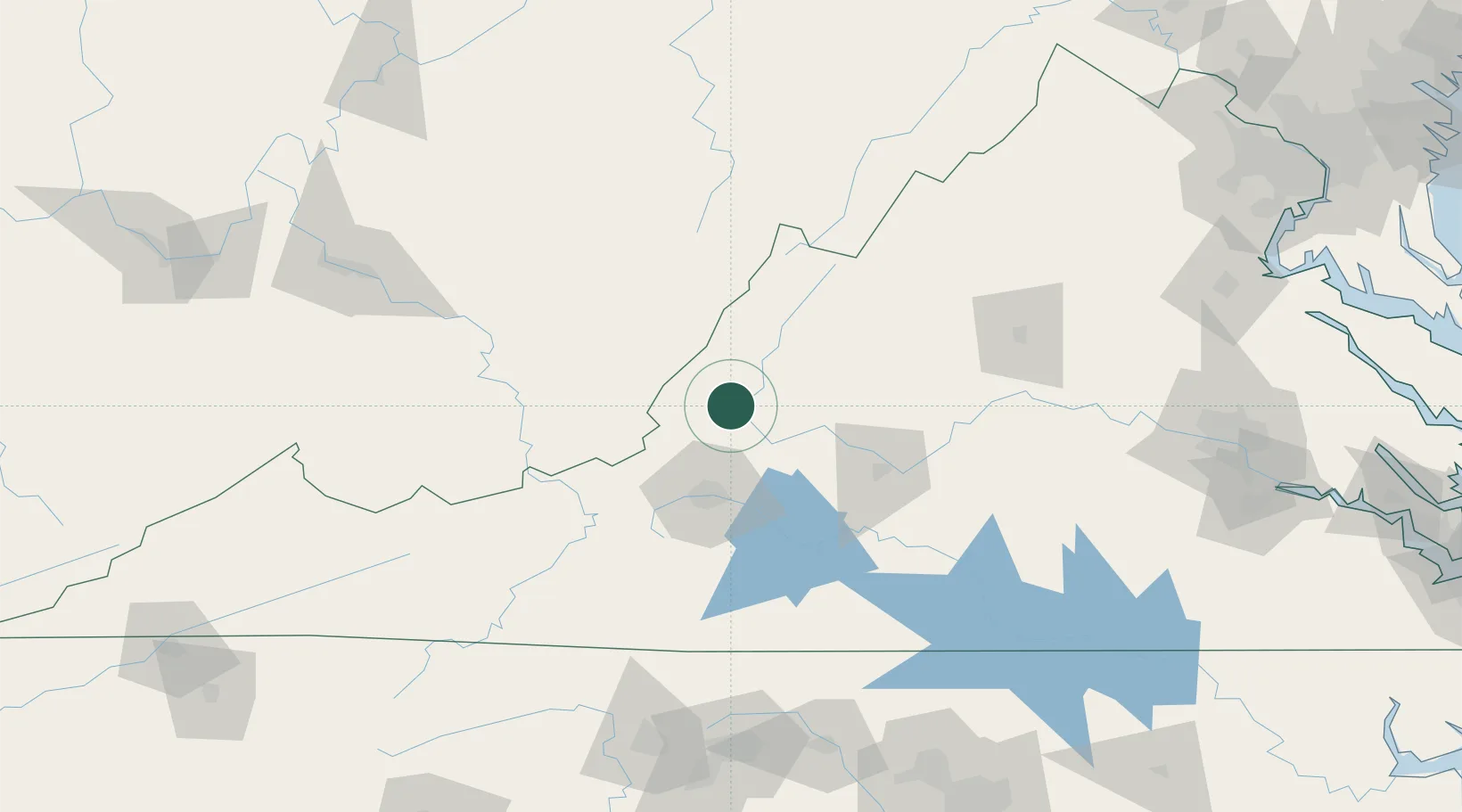
Location
Nearby Logistics Neighbours
Cities
- 1Low Moor7 km
- 2Lowmoor7 km
- 3Eagle Rock, Botetourt12 km
- 4Buchanan29 km
- 5Daleville35 km
Ports
- 1Richmond218 km
- 2Fredericksburg223 km
- 3West Point272 km
- 4Alexandria276 km
- 5Washington D.C.280 km
Airports
Trade Zones
- 1FTZ No. 238 Dublin100 km
- 2FTZ No. 230 Piedmont Triad Area171 km
- 3FTZ No. 229 Charleston175 km
- 4FTZ No. 185 Culpeper County182 km
- 5FTZ No. 207 Richmond205 km
DatabookThe Record of Consolidated Knowledge
United States beyond logistics?